Salt marshes, early potatoes, and a road the sea covers twice a day. A fuller Noirmoutier guide is being written.
© OpenFreeMap · OSM · terrain Mapterhorn · boundaries © EuroGeographics (Eurostat GISCO)
Getting there
- Access
- Bridge from Fromentine, or the Passage du Gois — a 4.5 km causeway only crossable around low water. Check the tide board; people are rescued off it every year.
More Atlantic islands
-
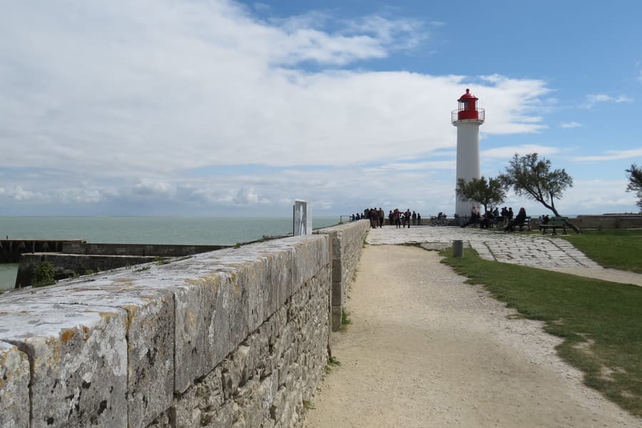 Île de Ré Whitewashed villages, green shutters, salt pans and 110 km of cycle path
 -
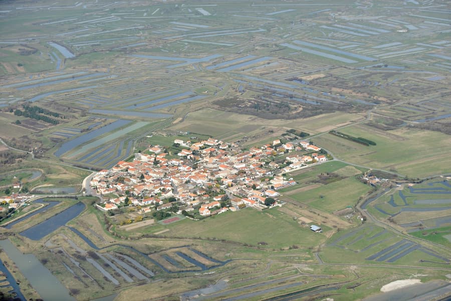 Île d'Oléron The largest French island after Corsica — oysters, dunes and a lighthouse
 -
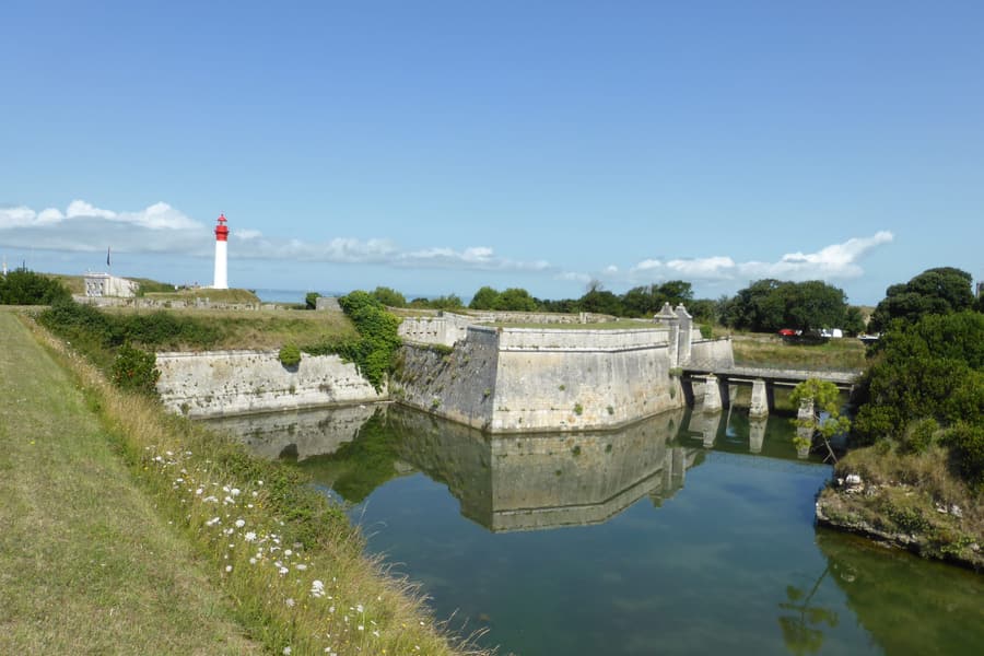 Île d'Aix Car-free, crescent-shaped, and Napoleon's last night in France
 -
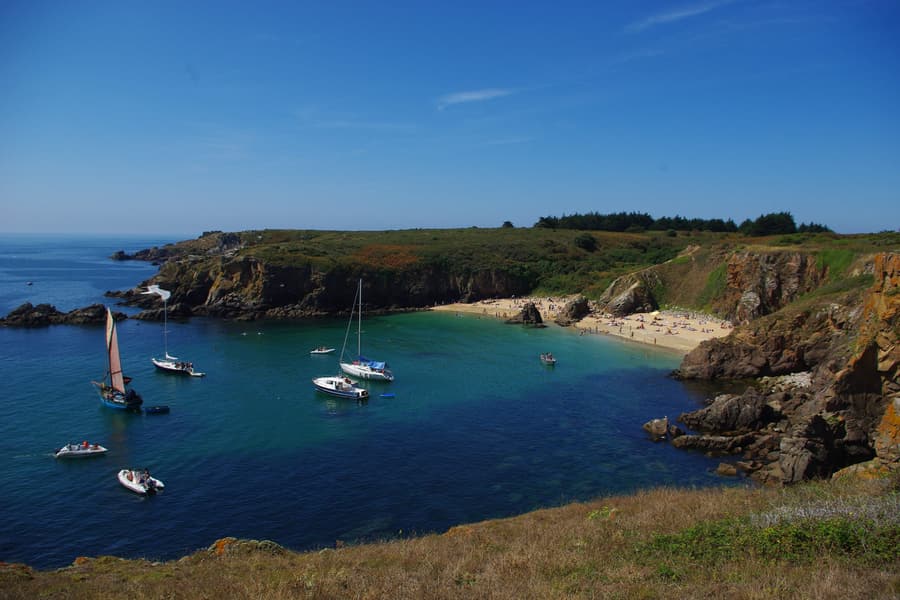 Île d'Yeu A granite wild coast on one side, sandy coves on the other