Mont Blanc is 4,806 m, and Chamonix sits directly beneath it — a town that effectively invented alpinism in 1786 and still runs on it. The Aiguille du Midi cable car climbs 2,800 vertical metres in twenty minutes to a terrace on the edge of the glaciers. North and south of the massif, the Savoie valleys hold the biggest linked ski domains anywhere: Les Trois Vallées at around 600 km of piste, Paradiski, and Tignes–Val d'Isère skiing into June. In summer the same lifts carry walkers, and the Tour du Mont Blanc circles the massif through three countries in eleven days.
Headline places
What you come to Alps & Mont Blanc for.
-
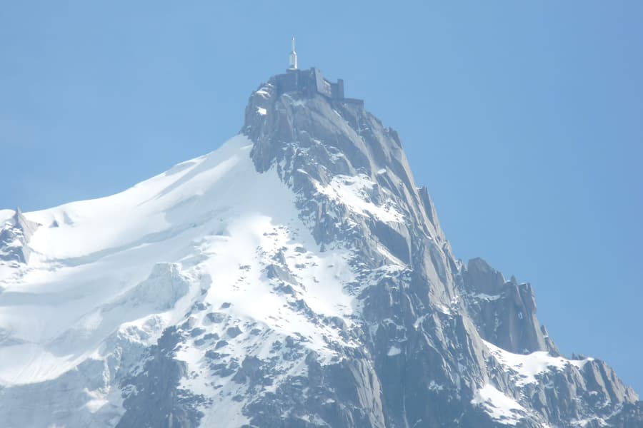 Aiguille du Midi 2,800 vertical metres in twenty minutes, to a terrace at 3,842 m
 -
 Mer de Glace France's longest glacier, reached by a rack railway from 1908
 -
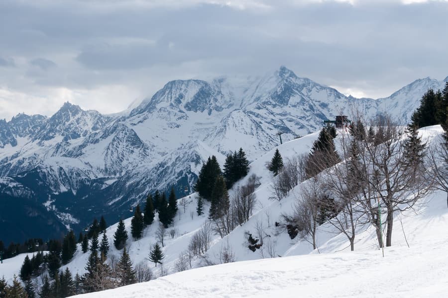 Mont Blanc 4,806 m — the highest mountain in western Europe
 -
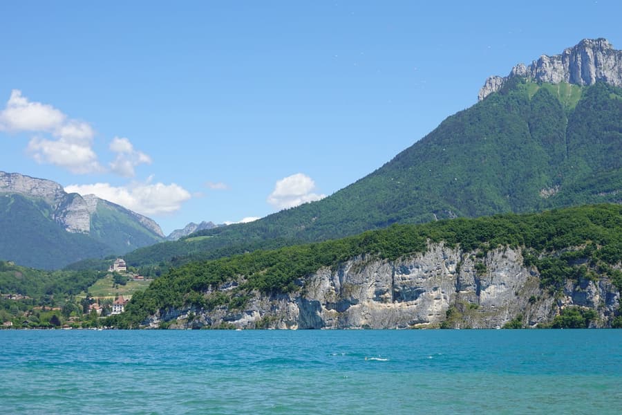 Lake Annecy Often called the cleanest lake in Europe, ringed by a cycle path
 -
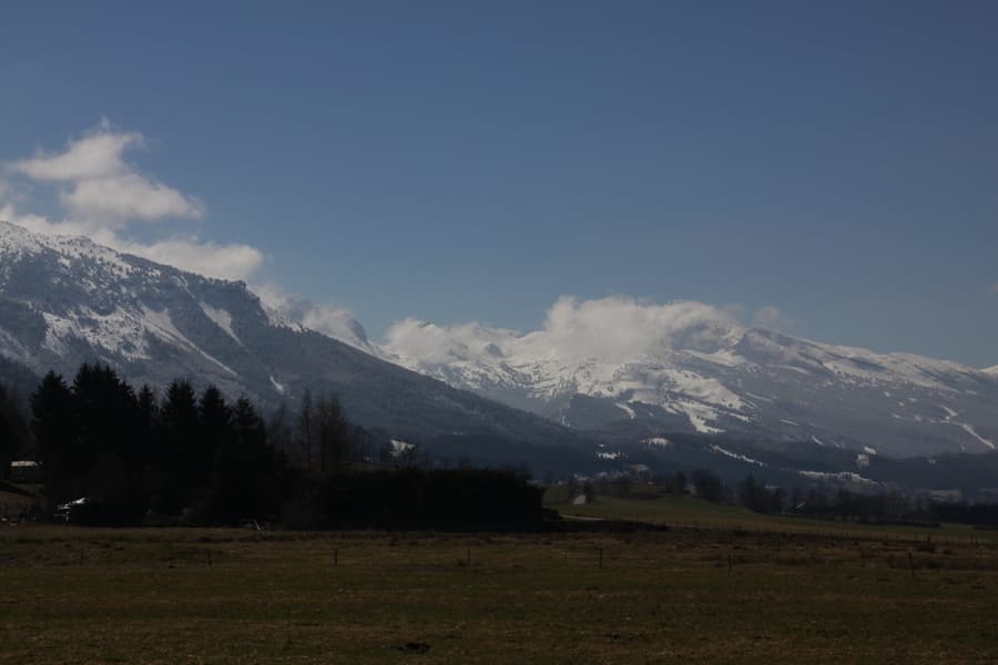 The Vercors A limestone fortress of a plateau, and a Resistance stronghold in 1944
 -
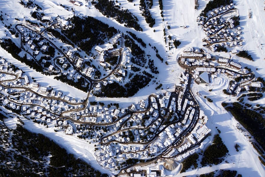 Les Trois Vallées Around 600 km of linked piste on one pass — the biggest in the world
 -
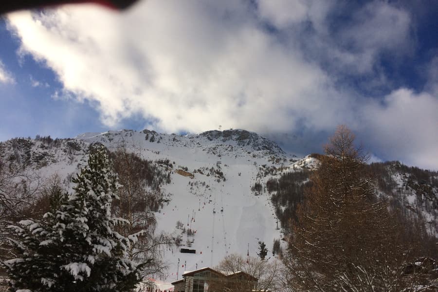 Tignes–Val d'Isère L'Espace Killy — glacier skiing that runs into June
 -
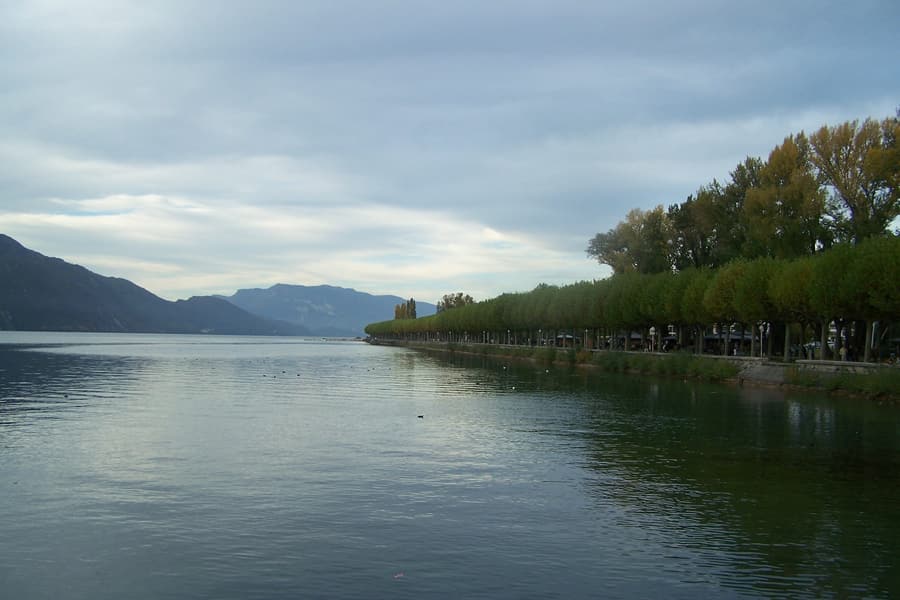 Lac du Bourget The largest natural lake in France, under the Dent du Chat
Cities & bases
Where to sleep inside the area.
-
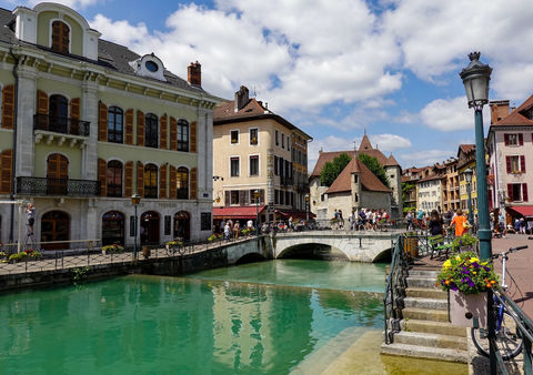 Annecy Canals, a lake often called the cleanest in Europe, and mountains behind
 -
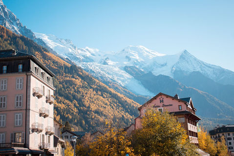 Chamonix Directly beneath Mont Blanc — the town that invented alpinism
 -
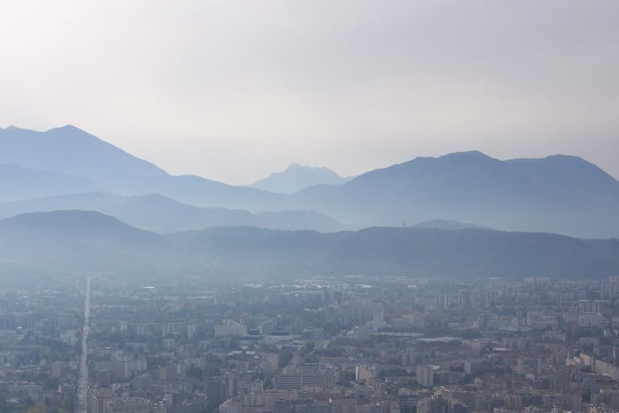 Grenoble A flat city with three mountain ranges starting at the ring road
 -
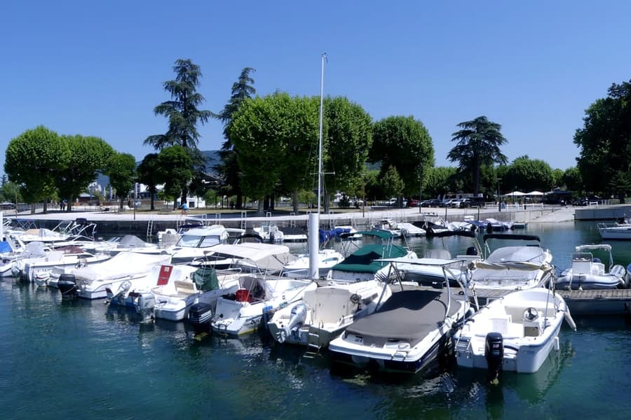 Aix-les-Bains Thermal baths on the shore of France's largest natural lake
 -
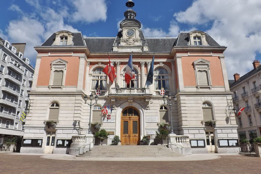 Chambéry The old Savoyard capital, and the doorway to the Tarentaise
 -
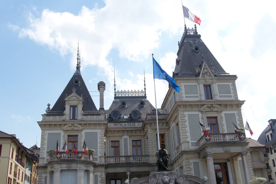 Évian-les-Bains Belle Époque lakeside, and the water everyone has drunk
 -
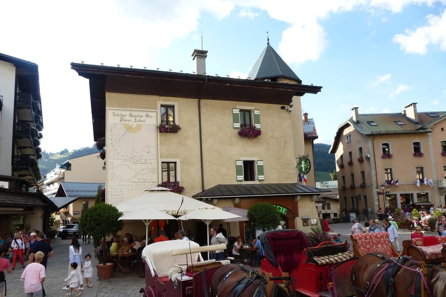 Megève A working village that the Rothschilds turned into a ski resort
Ski areas
The region it sits in
Tourism areas and administrative regions are different geographies — both are true, and both are browsable here.