Tūroa spreads across the south-western slopes of the volcanic Mt Ruapehu on New Zealand's North Island, offering some of the country's highest lift-served terrain and longest vertical.
- 1,610 m Base
- 2,316 m Top lift
- 706 m Vertical
- 23 Pistes mapped
- 8 Lifts
Best known for
Après & vibe
There is no village on the mountain; the après and dining scene lives down in Ohakune, a lively town famous for its cafés, bars and giant carrot landmark.
The resort
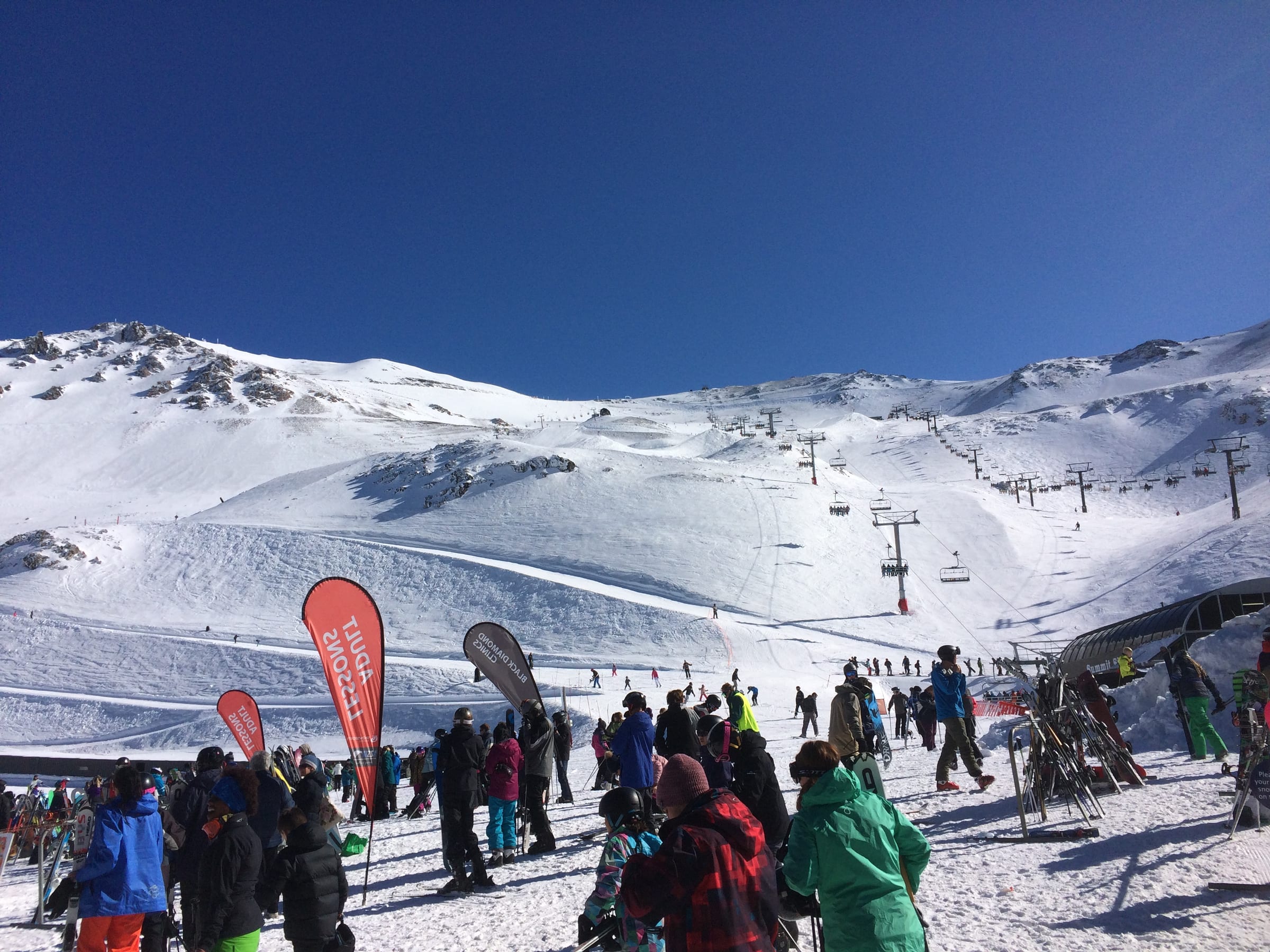
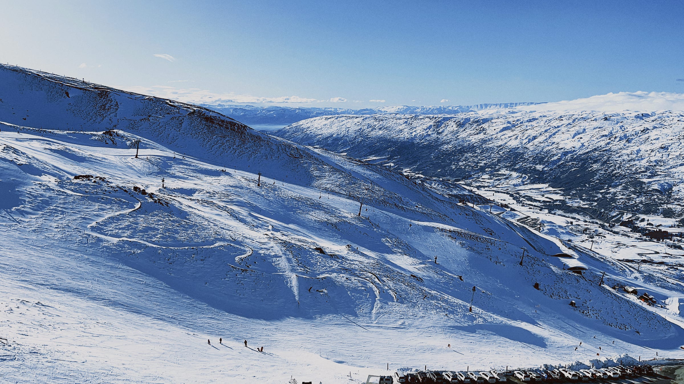
Set on the flanks of the active volcano Mt Ruapehu, Tūroa is a treeless, high-alpine ski area with wide, open pistes and one of the longest vertical descents in New Zealand. There is no accommodation on the mountain itself — the field is reached by day from the buzzy little town of Ohakune below — so the character is all about the skiing: sweeping intermediate cruisers, sunny volcanic basins and terrain that opens up dramatically for stronger skiers higher up. Being a Southern Hemisphere resort, its season runs through the local winter and early spring, and conditions can swing from powder to spring corn to full weather lockout given the exposed volcanic setting. It suits adventurous intermediates and above who relish big, scenic, uncrowded slopes.
Snow & weather
Live conditions from the mountain, plus the average snow you can expect month by month.
- Feels like
- —
- Conditions
- —
- Wind
- —
- Fresh snow (3-day)
- —
Live data © Open-Meteo.com
Snow can be excellent at altitude but is weather-driven and variable on this exposed volcano, with storms occasionally closing the upper mountain entirely.
Average monthly snowfall
Snowfall climatology unavailable.
Terrain & aspect
- Novice
- Easy
- Intermediate
- Advanced
- Freeride
- Flat / ungraded
Slopes mostly face SW — 88% on snow-holding, poleward-facing slopes.
Aspect derived from run bearings · OpenSkiStats / © OpenStreetMap (ODbL).
Skiing & terrain
A dedicated learners' area near the base, though the mountain overall favours those past their first turns.
The heart of Tūroa — long, wide, rolling pistes with huge vertical to explore.
Steeper chutes and open faces higher up reward strong skiers when conditions allow.
Serious off-piste and volcanic terrain for the experienced, with alpine hazards to respect.
Ruapehu's high alpine terrain
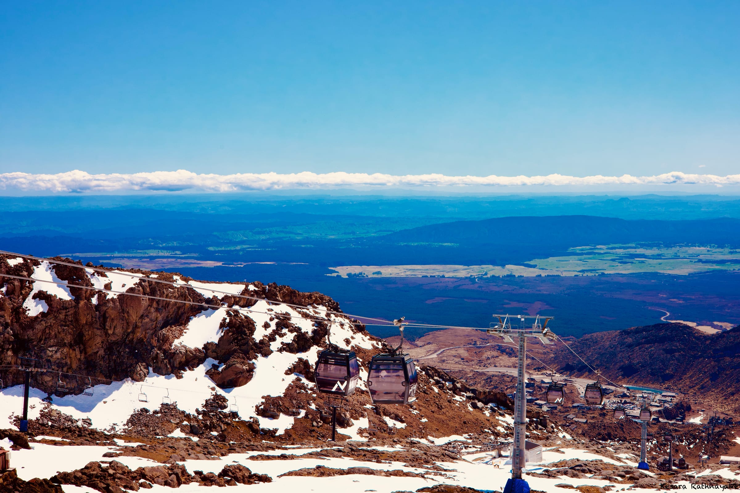
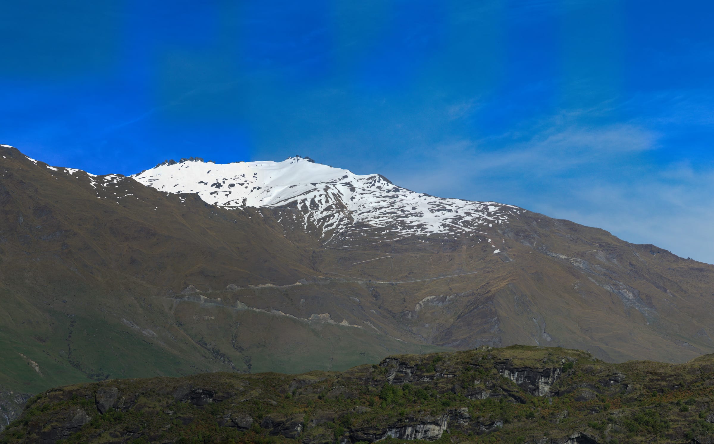
Tūroa reaches some of the highest lift-accessed skiing in New Zealand, with panoramic views across the central volcanic plateau.
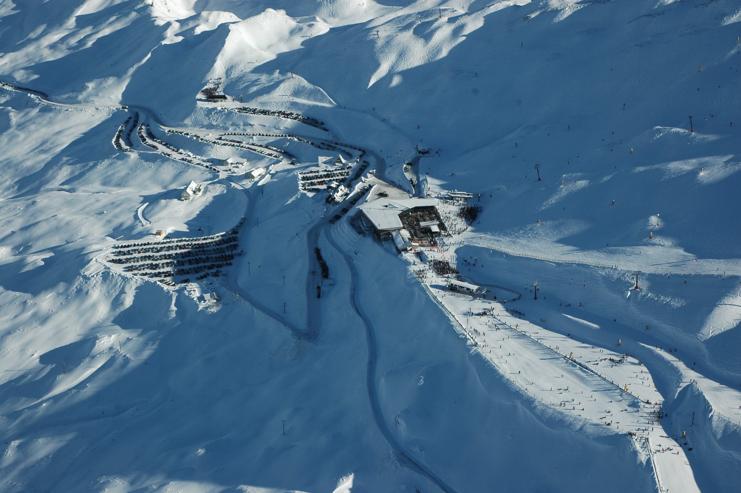
Ohakune Mountain Road
The scenic tar-sealed road climbs from Ohakune to the base in around 25 minutes, the daily gateway to the field.
On the map
Legend
Run difficulty
- Novice
- Easy
- Intermediate
- Advanced / Expert
- Freeride / Extreme
- Unknown
Run types
- Downhill — groomed
- Downhill — ungroomed
- Downhill — gladed
- Nordic (groomed)
- Ski tour
- ☾Lit (night)
- △Not patrolled
- →One-way
- ❄Snowmaking
Lifts
- Operating
- Operating (private)
- Non-operating
- Lift station
Slope-gradient grading
Downhill / ski tour
- Flat<3°
- Easy3–14°
- Intermediate14–22°
- Advanced / Expert22–45°
- Freeride / Extreme>45°
Nordic
- Easy<6°
- Intermediate6–9°
- Advanced>9°
Aspect (sun exposure)
- N — least sun
- E — morning
- S — most sun
- W — afternoon
Legend after OpenSkiMap
Stay in Tūroa
Stay in Ohakune, the charming mountain town below, which serves as the base for lodging, dining and nightlife.
Lifts and pistes from the door — the point of a high, purpose-built resort.
Self-catering residences, the bulk of the beds and the flexible-budget option.
Catered and self-catered chalets for groups wanting the whole place.
From simple to high-end, with pools and spas to thaw out in.
How to get there
Wellington, home to the North Island's main international airport, is the usual gateway around four hours' drive south; Auckland is a comparable option to the north.
From Ohakune it is a short 25-minute drive up the sealed Ohakune Mountain Road to the base area.
Best time: The Southern Hemisphere winter, roughly July to October, with early-season access sometimes from June.
Nearby resorts
Other resorts within reach.
Getting to Tūroa
Book an airport transfer up to the resort, or pick up a car at Christchurch (CHC) — search and compare without leaving the page.
Ski data © OpenStreetMap contributors (ODbL), via OpenSkiMap & Skimap.org. Basemap © OpenFreeMap / OpenMapTiles. Editorial: mynext.holiday. Accommodation via Stay22; transfers via Kiwitaxi; car hire via Travelpayouts.