Whakapapa
Volcanic ski terrain on Ruapehu's northern face
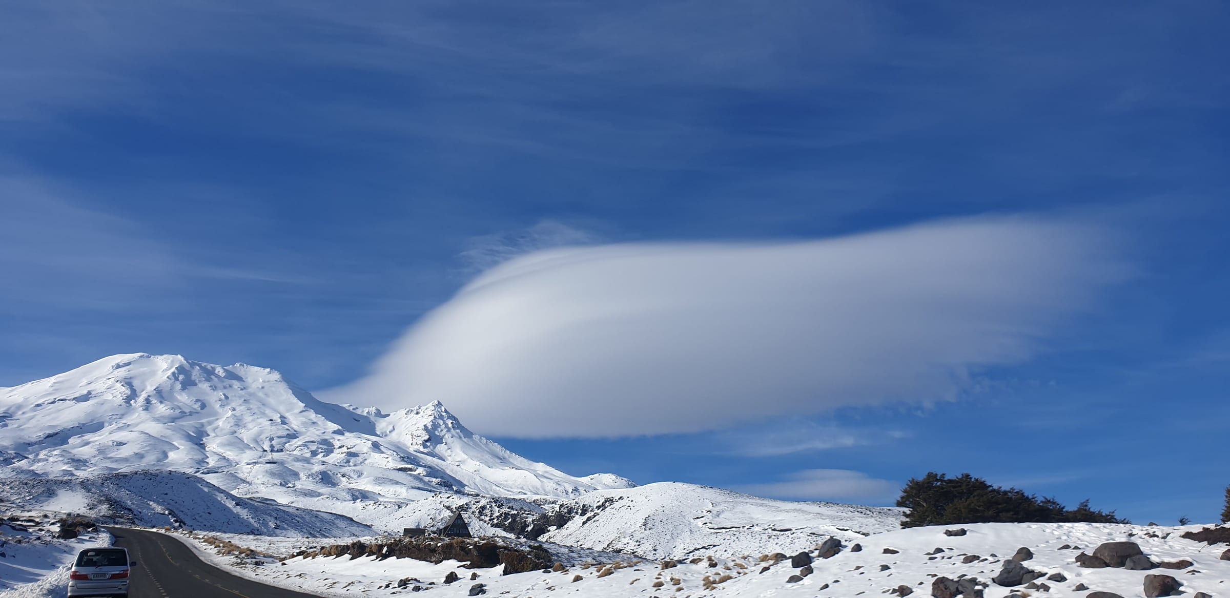
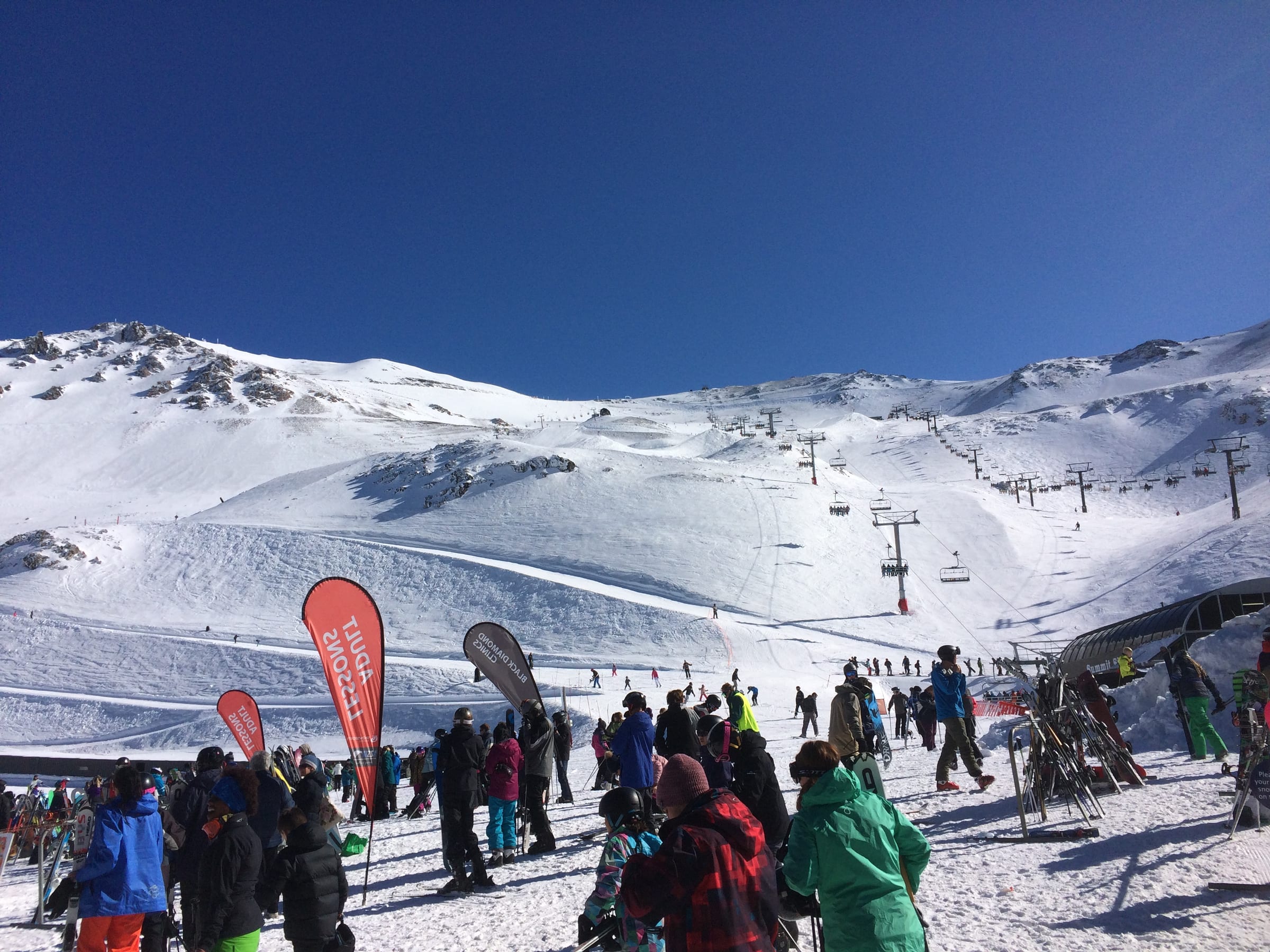
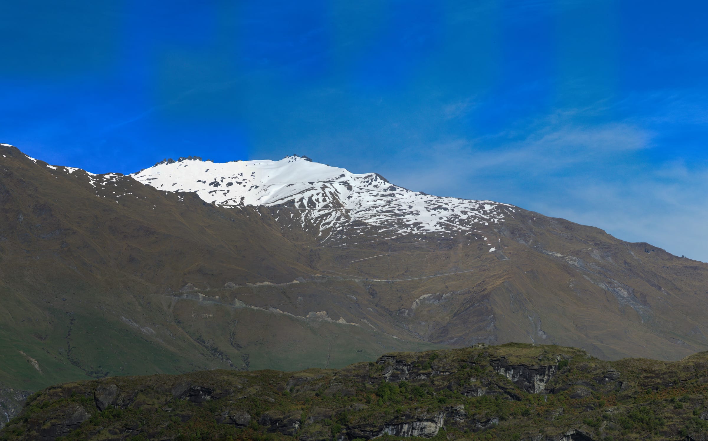
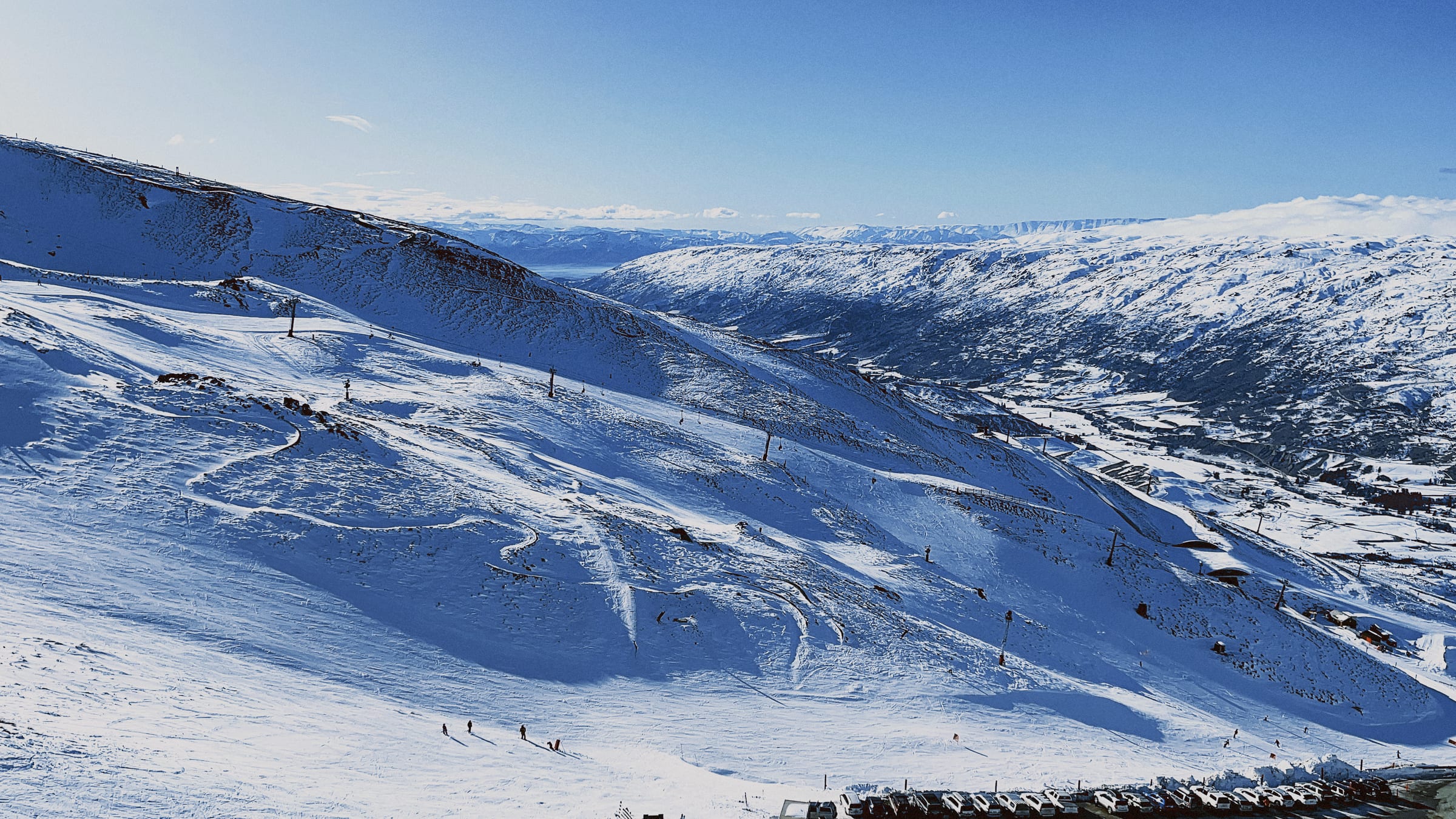
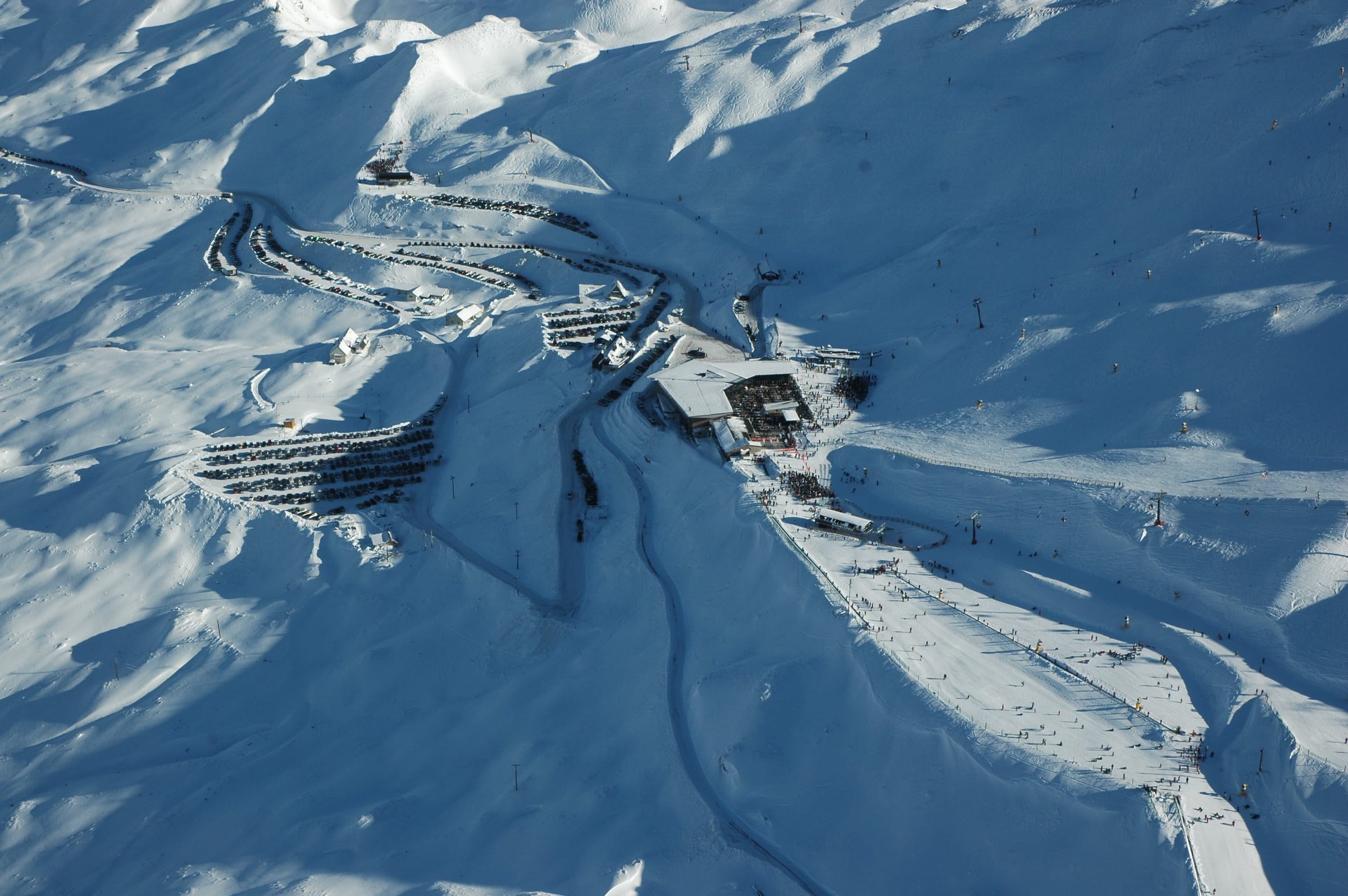
Whakapapa is New Zealand's largest ski area, sprawling across the northern flanks of the active volcano Mount Ruapehu in the North Island's Tongariro National Park. Its volcanic terrain, big vertical and Southern-Hemisphere winter season make it a striking, high-country place to ski.
- 1,573 m Base
- 2,295 m Top lift
- 722 m Vertical
- 17 Pistes mapped
- 13 Lifts
Best known for
Après & vibe
There is no lively base village; most skiers head down to Whakapapa Village or the nearby town of Ohakune for food, drinks and lodging.
The resort
Whakapapa unfurls across the sculpted lava landscape of Mount Ruapehu, an active andesitic volcano and the highest point in New Zealand's North Island. The terrain is characterful and natural, threading between rock buttresses, gullies and open bowls, with genuine vertical and plenty for every level. It sits within the UNESCO-listed Tongariro National Park, so the setting is dramatic and starkly beautiful. As a North Island mountain it draws day skiers and weekenders from across the region, and there is no true slope-side resort village. Weather is famously changeable at this exposed, high altitude, and being volcanic it carries its own hazards, but on a fine day the scale and scenery are unmatched in the country.
Snow & weather
Live conditions from the mountain, plus the average snow you can expect month by month.
- Feels like
- —
- Conditions
- —
- Wind
- —
- Fresh snow (3-day)
- —
Live data © Open-Meteo.com
Snow is natural and weather-driven; high, exposed volcanic slopes hold good cover in the depths of the Southern-Hemisphere winter, but storms, wind and thaws make conditions variable.
Average monthly snowfall
Snowfall climatology unavailable.
Terrain & aspect
- Novice
- Easy
- Intermediate
- Advanced
Slopes mostly face NW — 4% on snow-holding, poleward-facing slopes.
Aspect derived from run bearings · OpenSkiStats / © OpenStreetMap (ODbL).
Skiing & terrain
Dedicated learner areas at the base offer gentle ground to start on.
Wide open faces and rolling pistes give confident cruisers plenty of room.
Steeper chutes, bluffs and volcanic gullies deliver real challenge.
Extensive natural and off-piste terrain among the rocks rewards strong, self-reliant skiers who respect the volcano.
Skiing an active volcano
Whakapapa's runs cross the frozen lava flows of Mount Ruapehu, a working volcano, giving the skiing a genuinely otherworldly backdrop.
Tongariro National Park setting
The dual-World-Heritage park, with neighbouring Ngauruhoe and Tongariro on the horizon, makes for some of New Zealand's most cinematic mountain scenery.
On the map
Legend
Run difficulty
- Novice
- Easy
- Intermediate
- Advanced / Expert
- Freeride / Extreme
- Unknown
Run types
- Downhill — groomed
- Downhill — ungroomed
- Downhill — gladed
- Nordic (groomed)
- Ski tour
- ☾Lit (night)
- △Not patrolled
- →One-way
- ❄Snowmaking
Lifts
- Operating
- Operating (private)
- Non-operating
- Lift station
Slope-gradient grading
Downhill / ski tour
- Flat<3°
- Easy3–14°
- Intermediate14–22°
- Advanced / Expert22–45°
- Freeride / Extreme>45°
Nordic
- Easy<6°
- Intermediate6–9°
- Advanced>9°
Aspect (sun exposure)
- N — least sun
- E — morning
- S — most sun
- W — afternoon
Legend after OpenSkiMap
Stay in Whakapapa
Skiers typically stay in Whakapapa Village at the mountain's foot or in the town of Ohakune on the southern side, both a short drive from the lifts.
Lifts and pistes from the door — the point of a high, purpose-built resort.
Self-catering residences, the bulk of the beds and the flexible-budget option.
Catered and self-catered chalets for groups wanting the whole place.
From simple to high-end, with pools and spas to thaw out in.
How to get there
Being on the North Island, the sensible gateways are Auckland (AKL) and Wellington (WLG) for international flights, with regional Taupo (TUO) closest of all; Christchurch, on the South Island, is not the airport for this mountain.
A road transfer of roughly three to four hours from Auckland or Wellington, or under an hour and a half from Taupo, climbing up into the national park.
Best time: The Southern-Hemisphere season runs roughly July to September, with August usually the most reliable for snow.
Nearby resorts
Other resorts within reach.
Getting to Whakapapa
Book an airport transfer up to the resort, or pick up a car at Christchurch (CHC) — search and compare without leaving the page.
Ski data © OpenStreetMap contributors (ODbL), via OpenSkiMap & Skimap.org. Basemap © OpenFreeMap / OpenMapTiles. Editorial: mynext.holiday. Accommodation via Stay22; transfers via Kiwitaxi; car hire via Travelpayouts.