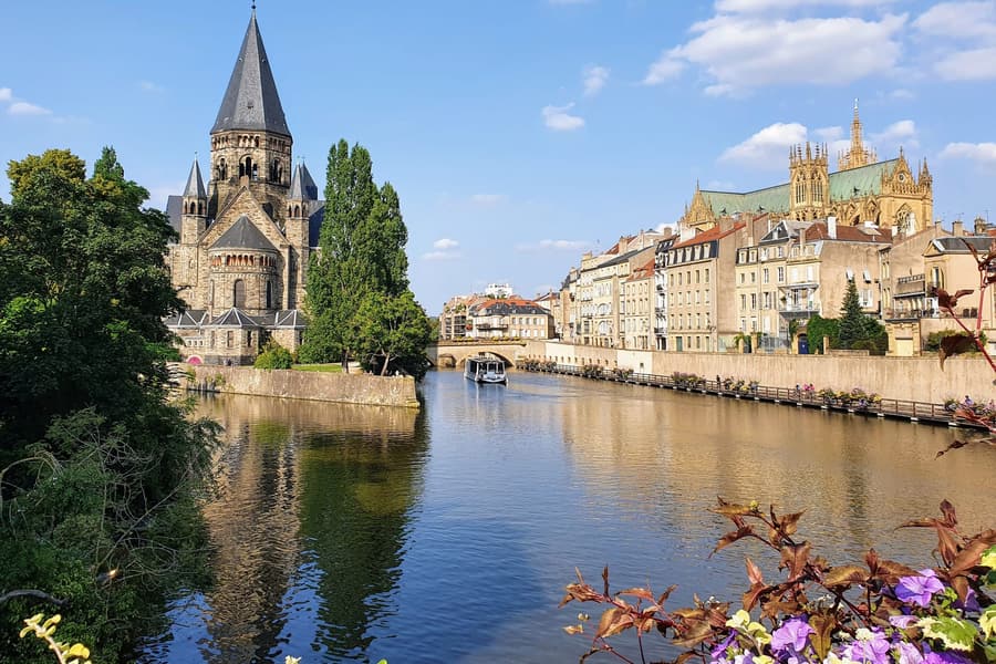
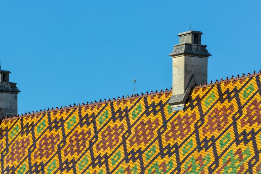
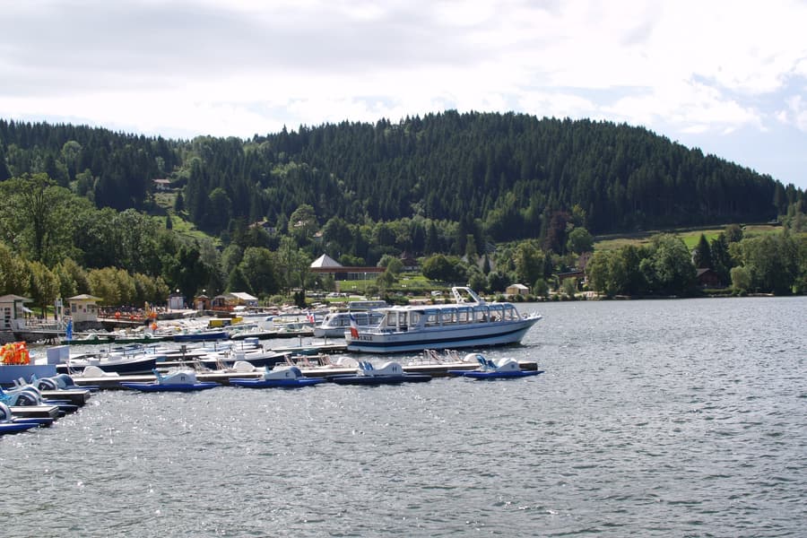
The Vosges are old, rounded and forested, topping out at 1,424 m on the Grand Ballon — ballons being the local word for the bald granite domes above the treeline. The Route des Crêtes runs the ridge for 77 km and was built by the French army in 1915 to supply the front; the Hartmannswillerkopf below it is one of the four national monuments of the First World War. Below the ridge, glacial lakes at Gérardmer and Longemer, the Route des Vins on the warm Alsatian side, and munster cheese made in the valleys between.
© OpenFreeMap · OSM · terrain Mapterhorn · boundaries © EuroGeographics (Eurostat GISCO)
Headline places
What you come to The Vosges for.
-
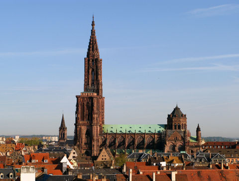
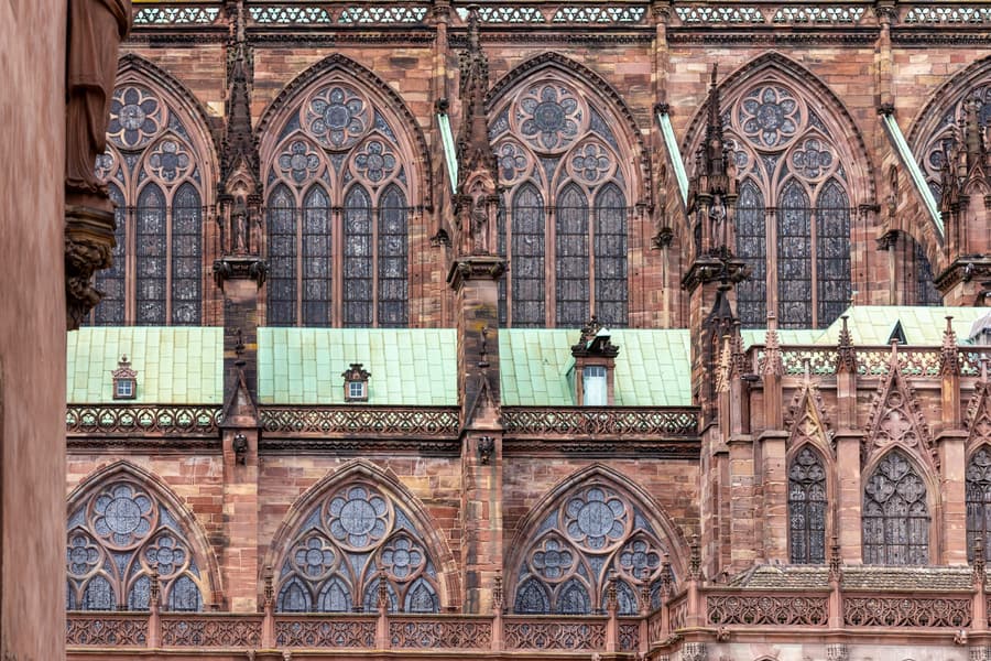 Strasbourg Cathedral The tallest building on earth from 1647 to 1874, in pink sandstone
 -
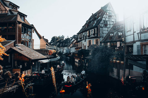
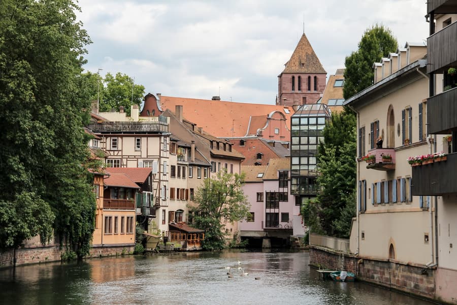 La Petite France Tanners' houses over the canals, on a UNESCO-listed island
 -
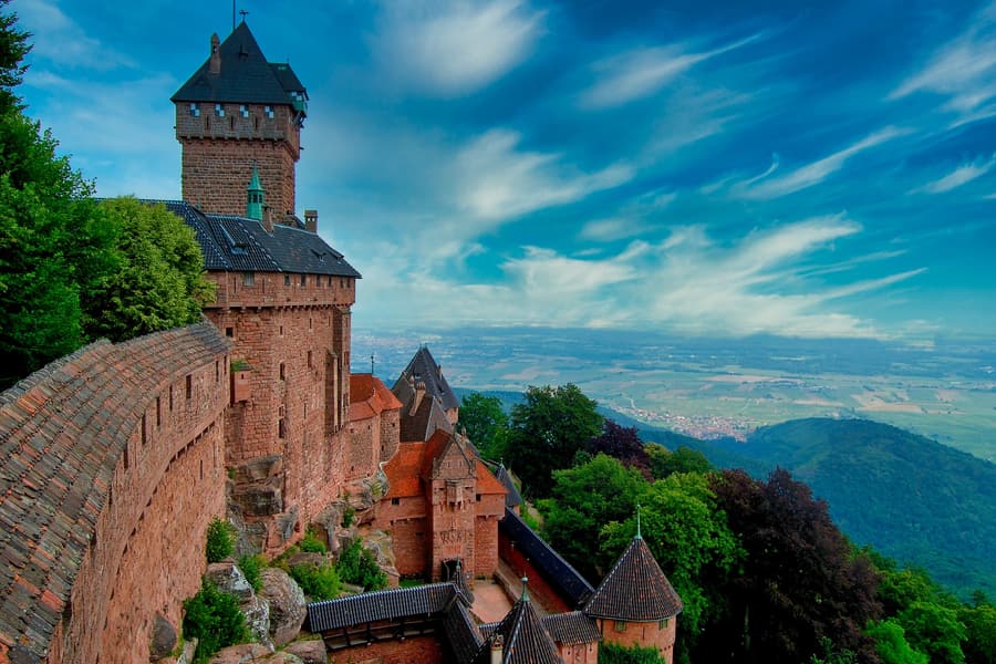 Château du Haut-Kœnigsbourg A red sandstone fortress at 750 m with the whole Rhine plain below
 -
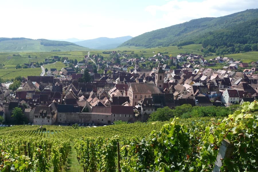 Riquewihr Inside its medieval walls, essentially unchanged since the 1500s
 -
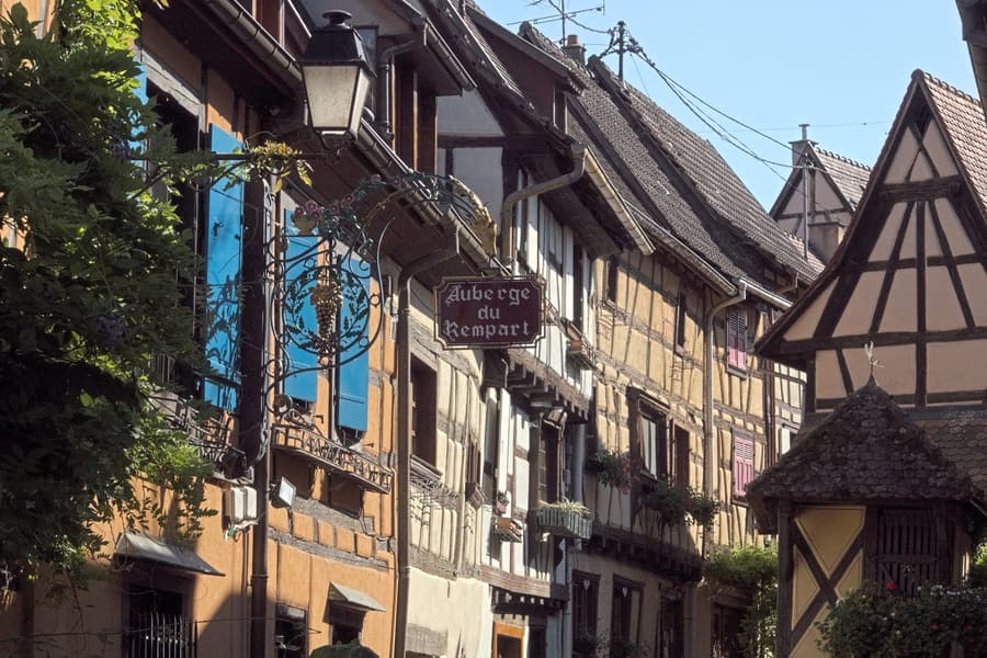 Eguisheim Concentric rings of half-timbered houses round a castle
 -
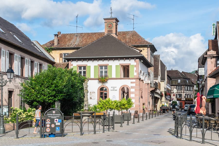 Ribeauvillé Three ruined castles above a wine village on the Route des Vins
 -
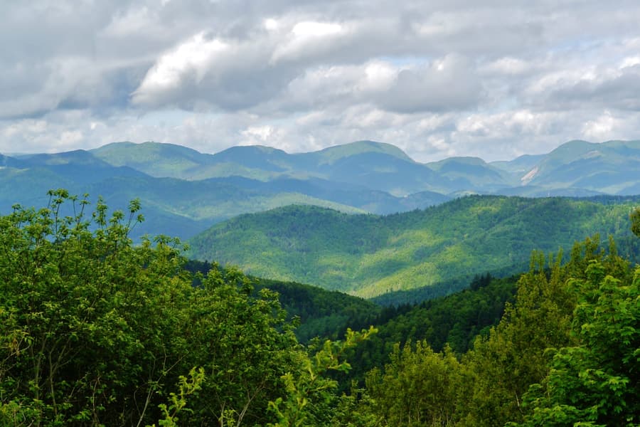 Route des Crêtes 77 km of ridge road, built by the army in 1915 to supply the front
 -
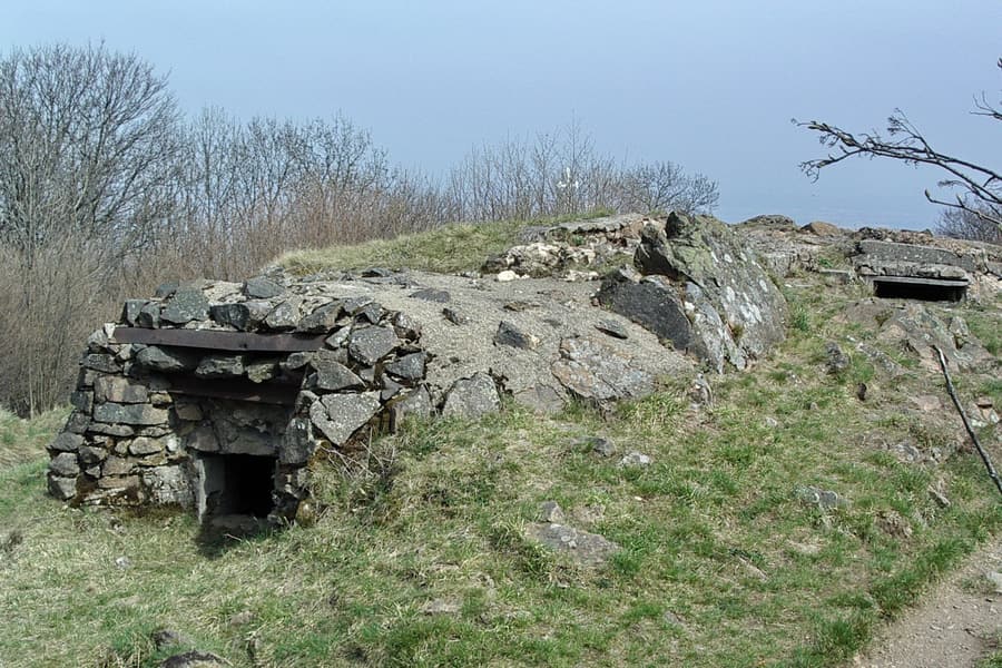 Hartmannswillerkopf A Vosges summit fought over all of 1915, and a national monument
Cities & bases
Where to sleep inside the area.
The regions this area crosses
Tourism areas and administrative regions are different geographies — both are true, and both are browsable here.