Cartagena's walled city and fortifications
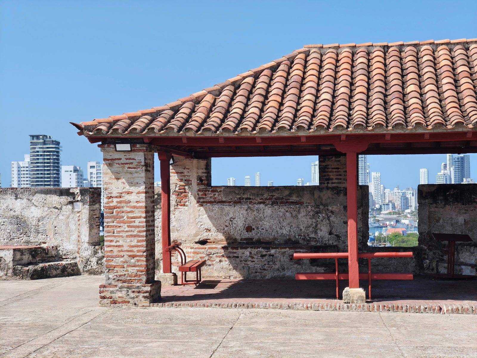
The UNESCO-listed walls, forts and old town of Cartagena de Indias, with the Castillo San Felipe de Barajas
- Landmark
Always check the latest FCDO travel advice for Colombia before you book. Travel advice on our Colombia page
About Cartagena's walled city and fortifications
UNESCO listed the Port, Fortresses and Group of Monuments of Cartagena in 1984. Its reasons are the scale of the colonial military architecture, built to defend the port, and the city's role on the trade route of the West Indies. The listed area covers 192.32 hectares, with a wider buffer zone around it, and UNESCO inscribed it under criteria (iv) and (vi).
Inside the walls, UNESCO describes three historic quarters: Centro, with the cathedral, the church of San Pedro Claver and the Palace of the Inquisition, where the court sat from 1610 to 1821; San Diego, where merchants and craftsmen of the middle class lived; and Getsemaní, outside the main walls, once home to artisans and enslaved people. ProColombia dates the completion of the walls to 1796.
The Castillo San Felipe de Barajas stands on a hill east of Getsemaní; ProColombia says it was finished in 1657. It is run by the Escuela Taller Cartagena de Indias, which also looks after the walls. The castle opens every day from 7am to 6pm. In 2026 a full ticket costs COP 38,000, and a reduced ticket for children aged 6 to 13 and for students costs COP 16,000. Go early, before the heat, wear a hat, carry water and allow a couple of hours for the tunnels and ramparts.
Good to know
- Type
- Landmark
- Best for
- history lovers, walkers, photographers
- Family friendly
- Yes
- Accessibility
- The walled city is flat, with some uneven paving and kerbs. The castle has steep ramps, steps and narrow tunnels.
Cartagena's walled city and fortifications on the map
Cartagena, Bolívar, Colombia