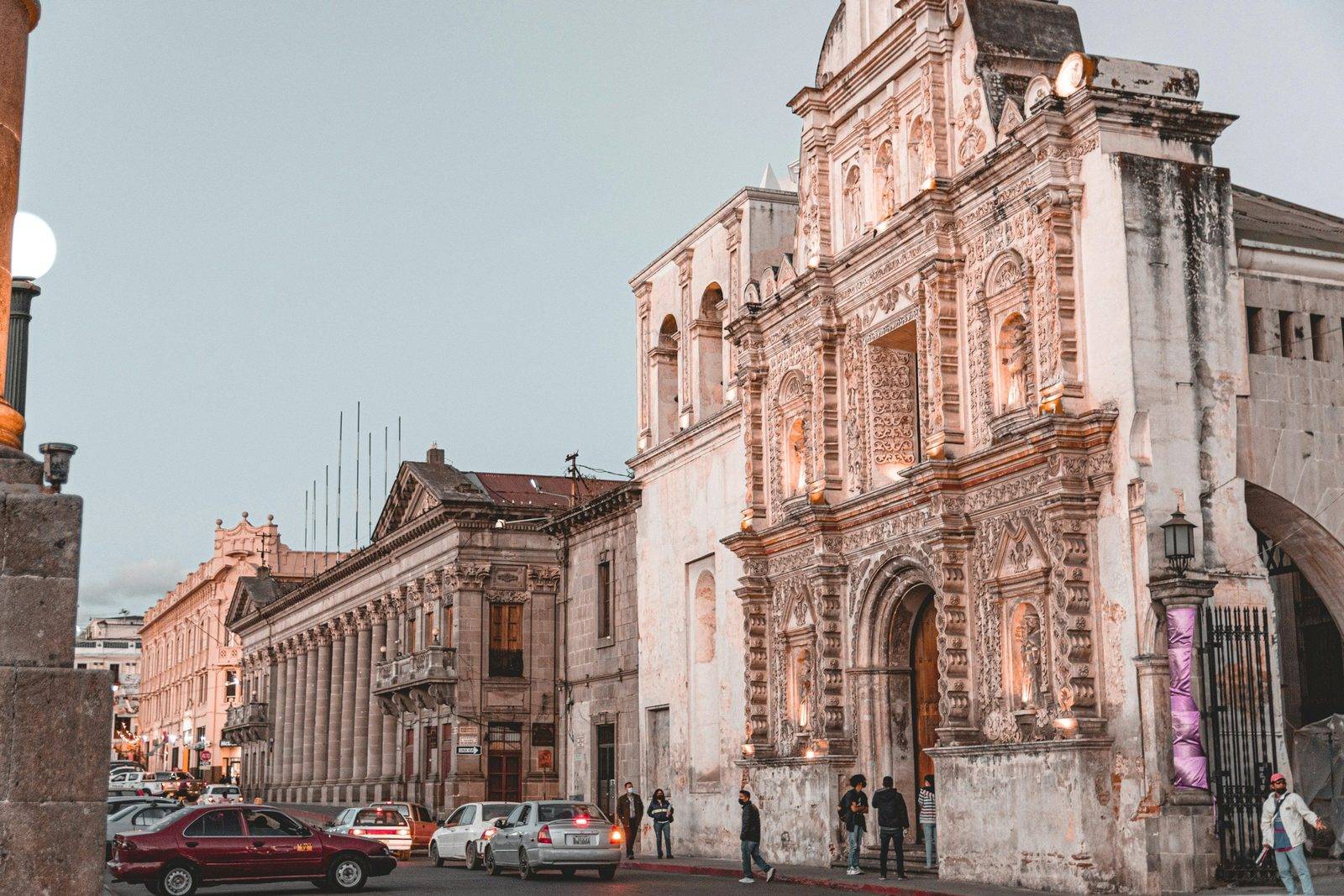
Quetzaltenango (Xela)
A western-highland city over 2,300 m up and a base for hot springs and hikes
- Old town
- Two to four days
Always check the latest FCDO travel advice for Guatemala before you book. Travel advice on our Guatemala page
About Quetzaltenango (Xela)
Quetzaltenango sits at over 2,300 metres in the western highlands. Most people call it Xela, from Xelajú, its ancient Maya name. INGUAT has named the city a Pueblo Pintoresco.
The historic centre is walkable. Around Parque Centroamérica you will find the Cathedral of the Holy Spirit, the Municipal Theatre and neoclassical buildings, with viewpoints out over the highlands. The cool climate means chilly mornings and evenings, so dress in layers.
Xela is a base for nearby volcano hikes and day trips: the Fuentes Georginas hot springs a few kilometres away, Zunil and its textile traditions, and the colonial church in Salcajá. Some visitors stay longer to learn Spanish. The main road from Guatemala City is the Inter-American Highway (CA-1 West). INGUAT suggests two to four days; one or two are enough for the city centre.
Good to know
- Time needed
- Two to four days
- Type
- Old town
- Best for
- Highland culture, Hiking base, Hot springs, Learning Spanish
Quetzaltenango (Xela) on the map
Where to stay for Quetzaltenango (Xela)
Sources
Checked 17 November 2026. Prices, hours and opening status come from the official pages below and can change, so confirm on the day.