Haute Maurienne Vanoise
Five Separate Resorts, One Valley Pass · High and Snow-Sure · Quiet Corner of the Alps · Good Value
A marketing grouping of separate resorts strung along the upper Maurienne valley near the Italian border — Val Cenis is the big one, Bonneval-sur-Arc the beautiful high village at the head of the valley, and the rest are smaller. One pass covers the set; you drive between them.
- 350 km Piste marketed
- 79 Lifts
- 1,306 m Base
- 2,948 m Summit
- 1,642 m Vertical
- 162 Pistes mapped
🎟 One pass: Espace Haute Maurienne Vanoise pass covers every lift across the area.
Terrain & aspect
- Novice
- Easy
- Intermediate
- Advanced
- Freeride
- Flat / ungraded
Slopes mostly face NW — 70% on snow-holding, poleward-facing slopes.
Aspect derived from run bearings · OpenSkiStats / © OpenStreetMap (ODbL).
The area
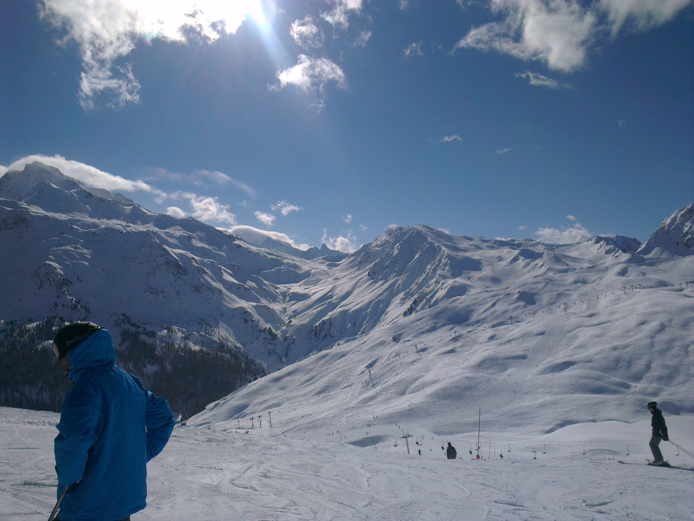
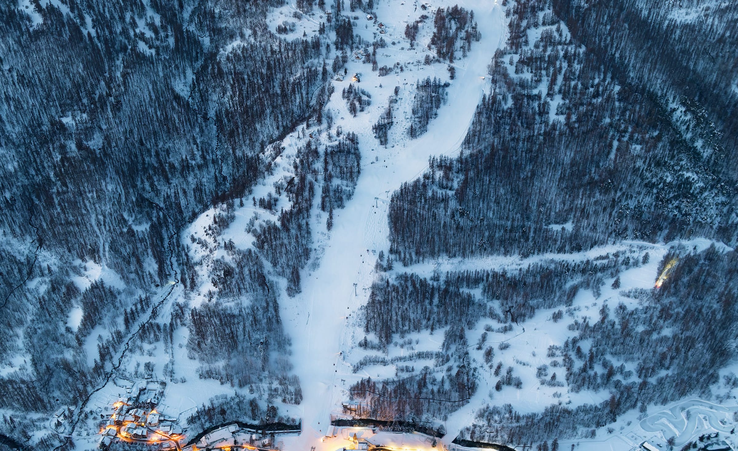
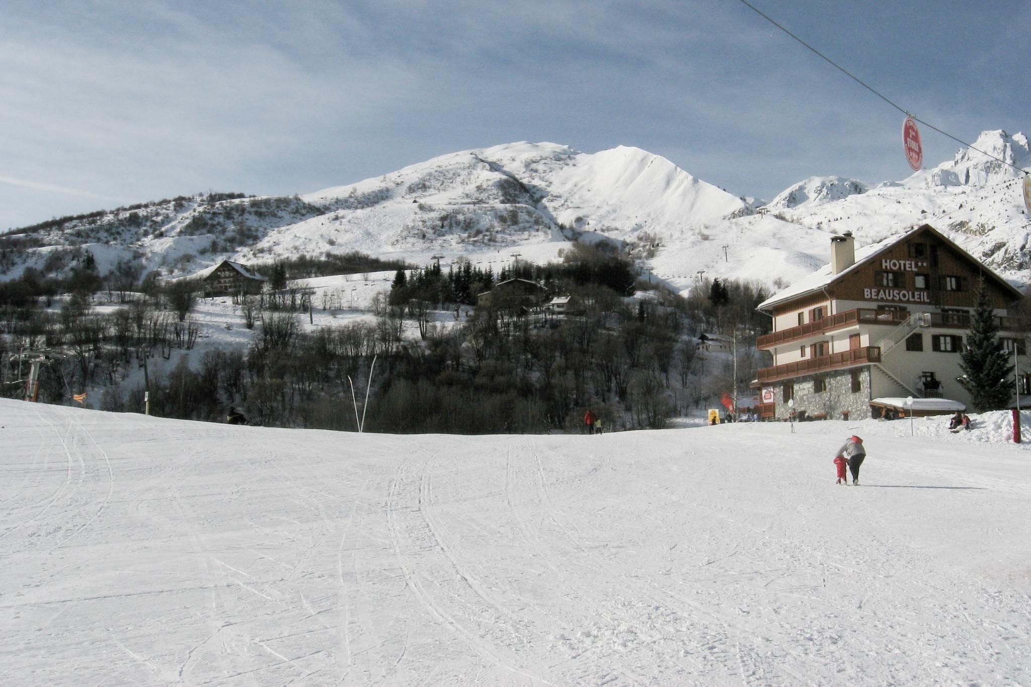
The Espace Haute Maurienne Vanoise gathers the ski resorts of the upper Maurienne valley in the Savoie, on the French side of the border above the Fréjus and Mont Cenis passes. It is not one lift-linked domain — that is the honest thing to know before you book. Val Cenis is much the largest, spread across the villages of Lanslebourg, Lanslevillard, Termignon and Bramans with around 125 km of its own piste; Valfréjus, La Norma and Aussois are smaller resorts on their own separate hills; and Bonneval-sur-Arc is a high, protected traditional village at the very top of the valley. Add the marketed alpine total across the resorts comes to around 350 km on the shared Espace pass, which on a six-day-plus ticket lets you ski your home resort freely and gives you a day in each of the others. The catch, and the point, is that you drive or take a shuttle between them rather than skiing across. What binds it together is altitude, value and quiet: this is a snow-sure, less-trodden corner of the Alps that trades lift links for elbow room.
Snow, space and price. The upper Maurienne sits high and cold, tucked against the Vanoise and the frontier, so the skiing holds up when lower resorts wobble — and it does it without the lift queues, the crowds or the cost of the marquee names one valley to the north. You come here for uncrowded pistes on a good-value pass, for the wild high scenery around Bonneval, and for the sense of a real French valley going about its winter rather than a resort machine. If you want lift-linked mileage across a single domain, look elsewhere; if you want quiet, dependable snow and honest villages, this is a strong buy.
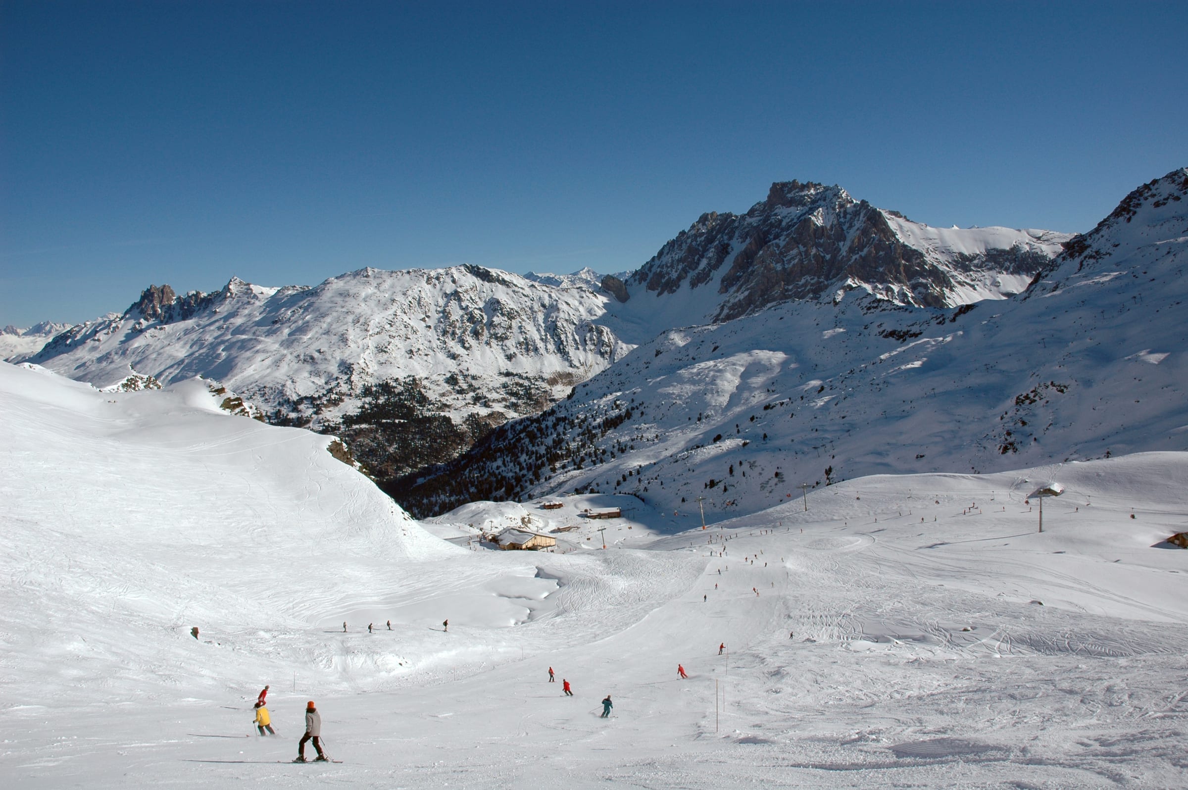
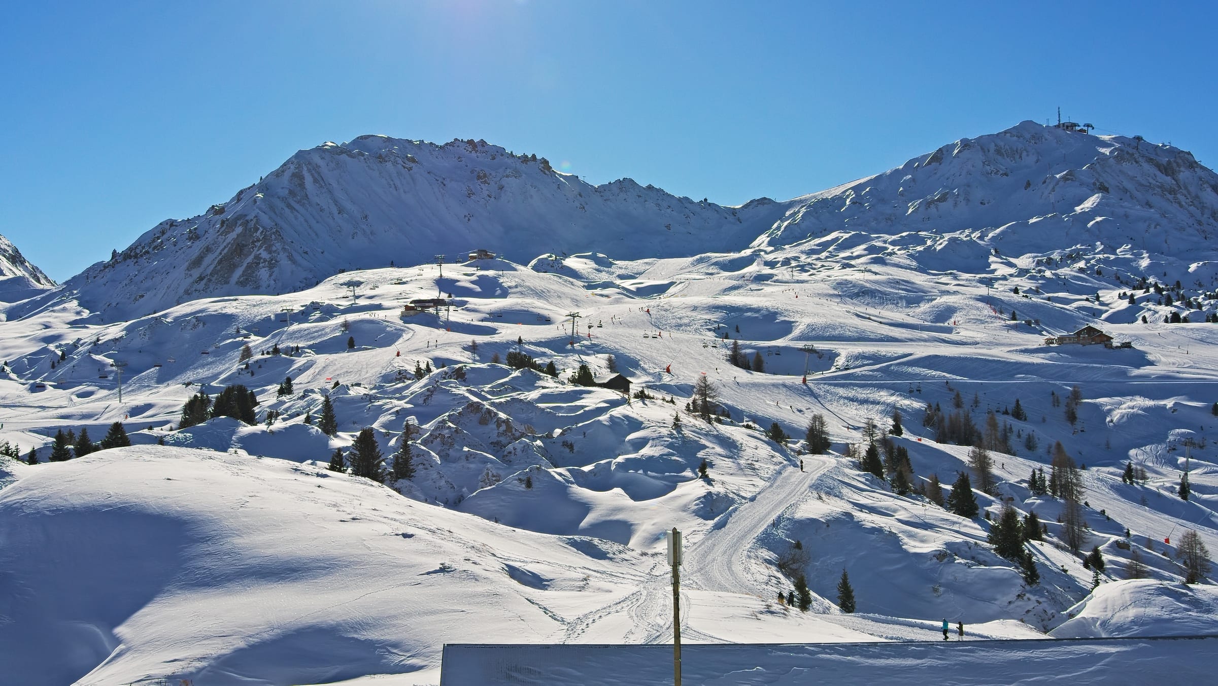
High, cold and low-key. Each resort is a self-contained hill rather than a slice of one big domain, so a week here has a different rhythm from the connected giants — you settle into a home resort and take day trips to the others when you fancy a change. Val Cenis skis as a broad, cruisy area with plenty of length; Aussois, La Norma and Valfréjus are steeper, more compact hills that reward a confident skier; Bonneval is small, wild and gloriously high. The feel throughout is uncrowded and unhurried, more mountain village than resort strip.
Best known for
Explore the villages
The pass is the same everywhere — the village you base in shapes the holiday more than the valley you ski. 5 base villages, one lift pass.
Val Cenis
1,400 mThe main base — biggest area and best all-round week
Much the largest resort in the valley, spread across the linked villages of Lanslebourg, Lanslevillard, Termignon and Bramans at around 1,300-1,500 m, with roughly 125 km of its own high, snow-holding piste. It's the natural base for a week — most terrain, most beds, most variety — and the one part of the group that skis like a proper mid-size resort.
Explore the village →Valfréjus
1,550 mKeen skiers wanting a quiet, steeper small hill
A compact resort in the trees above Modane at around 1,550 m, pitched a touch steeper than its neighbours and rising high onto the frontier ridges. Small and low-key, it rewards keen skiers who want proper terrain without a crowd, and it's among the closest resorts to the rail line.
Explore the village →Aussois
1,500 mQuiet, good-value family skiing on a sunny hill
A sunny, unhurried village on a balcony above the valley at around 1,500 m, on the edge of the Vanoise National Park under the Dent Parrachée. Its ski area is compact but pleasant and good value, with quiet slopes that suit families and improvers looking to escape the crowds.
Explore the village →La Norma
1,350 mA calm, car-free family base handy for the train
A small, car-free-friendly resort perched above the valley near Modane at around 1,350 m, with a compact hill rising to nearly 2,750 m. Calm and easy to get around, and handy for the rail line, it's an unfussy base for families who want the mountains without the hassle.
Explore the village →Bonneval-sur-Arc
1,800 mHigh snow, mountain scenery and touring over piste mileage
The highest village in the Maurienne at around 1,800 m, a protected huddle of stone and slate at the head of the valley under the frontier peaks. The ski area is small, but the setting is wild and the snow among the most dependable in the group — a place chosen for scenery, altitude and ski touring rather than mileage.
Explore the village →- Val Cenis The main event — biggest area, most terrain and beds, best all-round base for a week.
- Bonneval-sur-Arc High, beautiful and traditional; small skiing but the pick for scenery and snow.
- Aussois A sunny, quiet family hill on the edge of the Vanoise, good value and unhurried.
- Valfréjus Compact and steeper-pitched, tucked in the trees above Modane — for keen skiers wanting quiet.
- La Norma Small, car-friendly and handy for the rail line; a calm, no-fuss family base.
Pick your resort, because you'll base in one and visit the others. Val Cenis is the natural home base — the biggest area, the most terrain on the doorstep and the widest choice of beds across its villages. Aussois and Valfréjus suit those wanting a smaller, quieter hill with good access from the valley road. Bonneval-sur-Arc is the choice for charm and high snow, accepting that it is small and remote at the head of the valley. La Norma is a compact, car-free-friendly option handy for the rail line. Wherever you land, plan on driving or shuttling for your day trips.
Skiing, by level
Well catered for, especially at Val Cenis, which has gentle, high nursery and green terrain that keeps its snow. The smaller resorts each have learner areas too, though they are more compact. It's a reassuring place to progress, with room to move and no crowds pushing you around.
The core of the skiing. Val Cenis has the length and variety to fill several days on blues and reds, and hopping to Aussois, La Norma or Valfréjus adds fresh, quieter red-run terrain. A confident intermediate gets the most out of the pass by treating the valley as a set of day trips.
Better than the low profile suggests. The smaller resorts — Valfréjus and La Norma especially — pitch steeper than Val Cenis and hold some proper black terrain, and there are good long descents when the snow is in. It won't out-gun the big freeride names, but keen skiers won't be bored.
The draw is touring and off-piste, not marked steeps. Sitting on the edge of the Vanoise with high, wild terrain all around, the upper Maurienne is serious ski-touring country, and Bonneval-sur-Arc in particular is a launch point for backcountry. Go with a guide, avalanche kit and the right conditions.
Make Val Cenis your base and tour the valley
The smart way to ski the pass. Settle into Val Cenis for its length and variety, then use the six-day-plus ticket's day-in-each-resort rule to sample Aussois, La Norma and Valfréjus on the days you want a change of hill. It's a car-and-shuttle rhythm rather than a ski-across one, so check the shuttle times or plan to drive, and treat the day trips as outings rather than casual detours.
A day up at Bonneval-sur-Arc
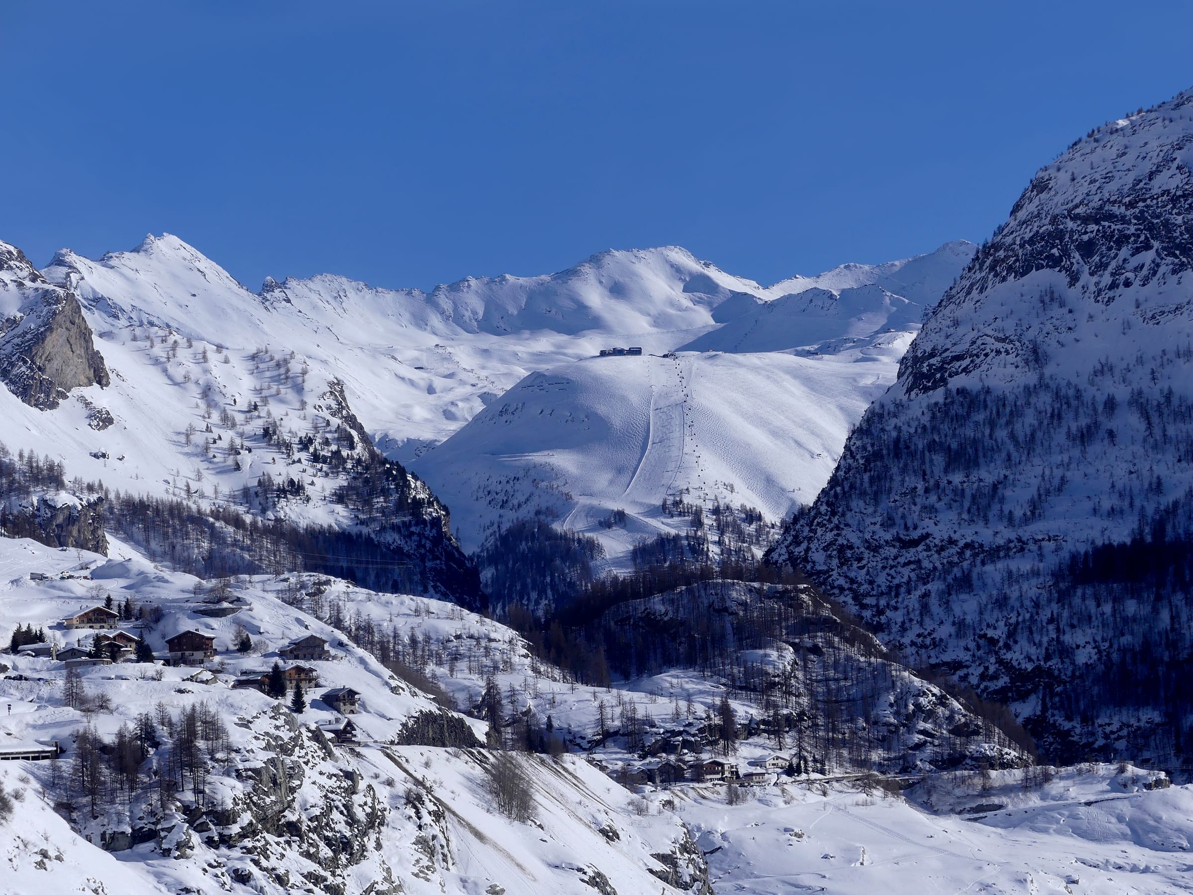
Drive to the head of the valley to the highest village in the Maurienne, a protected huddle of stone and slate under high peaks. The ski area is small and the runs modest, but the setting is the reason to go — wild, snowy and quiet, with the frontier ridges all around and some of the most dependable snow in the valley. Give it a clear day and enjoy the scenery as much as the skiing.
Ski touring on the edge of the Vanoise
The upper Maurienne is one of France's great touring valleys, ringed by high peaks and bordering the Vanoise National Park. From Bonneval and the higher resorts you can strike out into serious backcountry, from gentle skinning routes to committing high-mountain lines. It's guide-and-kit terrain — go prepared, watch the conditions, and use a local mountain guide to unlock it safely.
Snow & how the mountain faces
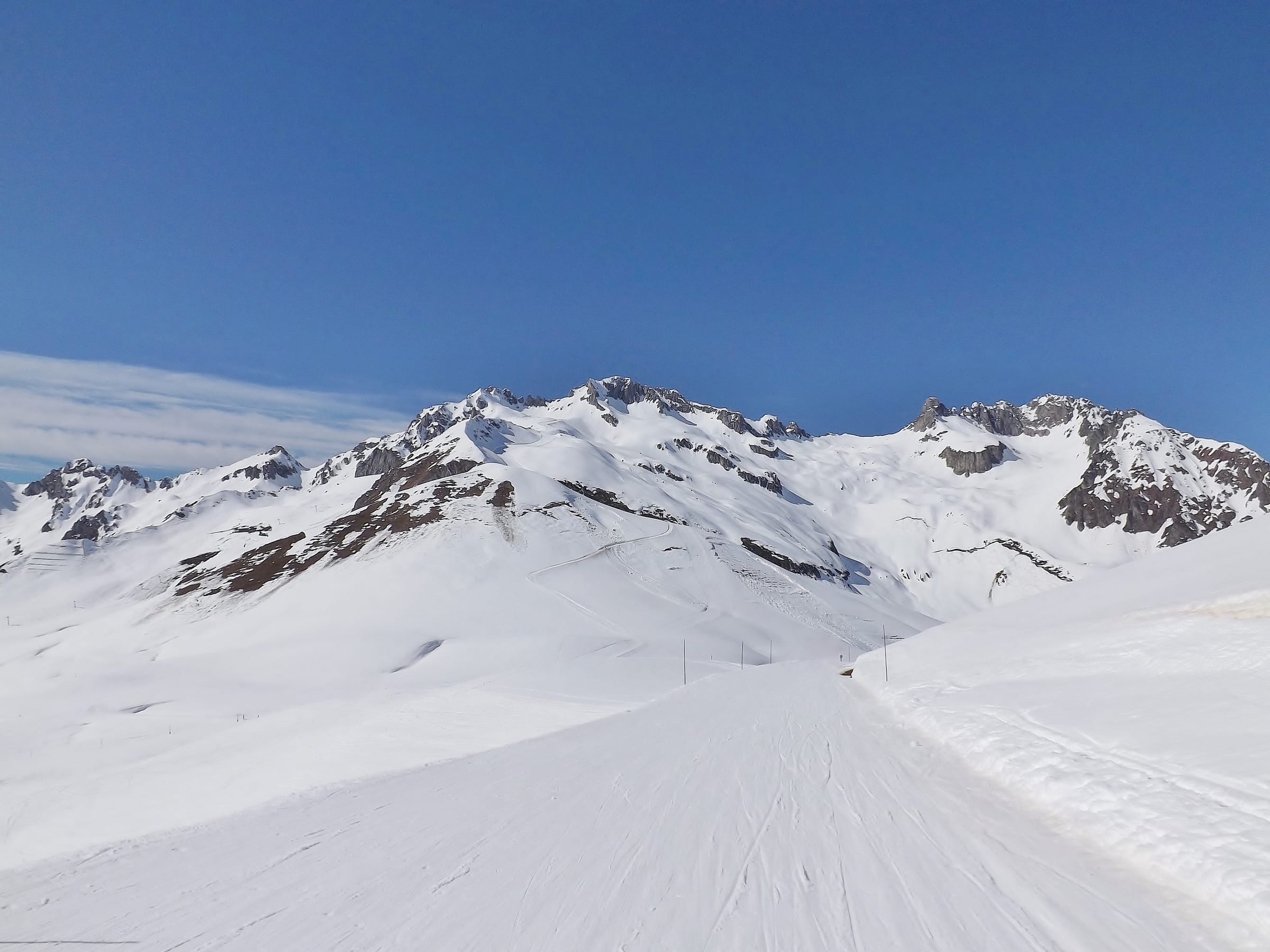
Strong for France, thanks to altitude and position. The resorts run high — most top out around 2,700 to nearly 3,000 m, and Bonneval's slopes start at around 1,800 m — and the upper Maurienne is a cold, snowy pocket shielded by the surrounding peaks, so the season here tends to hold when others thin out. Val Cenis in particular has a good north-leaning aspect and dependable cover up top. The village-level runs at the lower resorts can soften in a spring warm spell, as anywhere, but as a set this is one of the more snow-sure corners of the French Alps.
On the map
The area and its base villages on the live map — pan and zoom to explore. The official piste maps are one tap away beneath it.
Legend
Run difficulty
- Novice
- Easy
- Intermediate
- Advanced / Expert
- Freeride / Extreme
- Unknown
Run types
- Downhill — groomed
- Downhill — ungroomed
- Downhill — gladed
- Nordic (groomed)
- Ski tour
- ☾Lit (night)
- △Not patrolled
- →One-way
- ❄Snowmaking
Lifts
- Operating
- Operating (private)
- Non-operating
- Lift station
Slope-gradient grading
Downhill / ski tour
- Flat<3°
- Easy3–14°
- Intermediate14–22°
- Advanced / Expert22–45°
- Freeride / Extreme>45°
Nordic
- Easy<6°
- Intermediate6–9°
- Advanced>9°
Aspect (sun exposure)
- N — least sun
- E — morning
- S — most sun
- W — afternoon
Legend after OpenSkiMap
How to get there
Lyon (LYS) is the usual gateway, ~approx 2.5-3 hours up the valley by road. Chambéry (CMF) is closer at ~approx 1.5-2 hours when it's running, and Turin (TRN) in Italy is a similar ~approx 1.5-2 hours over the Fréjus road tunnel — a genuinely handy option from the south.
Modane, on the mainline Paris-Turin route through the Maurienne, is the rail gateway; from there it's a bus or transfer up to the resorts, with Valfréjus and La Norma closest and Val Cenis and Bonneval further up the valley.
Each resort sits on its own spur off the valley road, so this is a drive-between-them area rather than a ski-between-them one. A car makes day trips to the other resorts far easier; ski shuttles link the villages but run to timetables, so check them if you're carless.
Best time to go
January and February for the coldest, most reliable snow across the whole valley, and for the quiet that is the area's calling card outside the holiday weeks. March brings longer, brighter days with the high resorts still skiing well, though lower runs soften in the afternoon sun. French and UK half-terms are the busiest, but even then the upper Maurienne stays calmer than the big-name valleys — a mid-January or mid-March non-holiday week is the sweet spot.
- Season opensMid-December, snow-dependent
- Season closesMid-to-late April at the higher resorts
- Full lift coveragemid-December to mid-April
- Peak weeksChristmas / New Year and February half-terms
- Best late snowMarch, up at Val Cenis and Bonneval
Good to know
Can you ski between all the resorts on the pass?
Which resort should we base in?
Is the snow reliable here?
Nearby resorts & areas
Other resorts within reach if you're combining trips or comparing.
Getting to Haute Maurienne Vanoise
Book an airport transfer up to the resort, or pick up a car at Lyon (LYS) — search and compare without leaving the page.
Ski data © OpenStreetMap contributors (ODbL), via OpenSkiMap & Skimap.org. Basemap © OpenFreeMap / OpenMapTiles. · Weather data © Open-Meteo.com (CC-BY 4.0), ERA5 reanalysis. Village grouping & editorial: mynext.holiday. Transfers via Kiwitaxi; car hire via Travelpayouts.