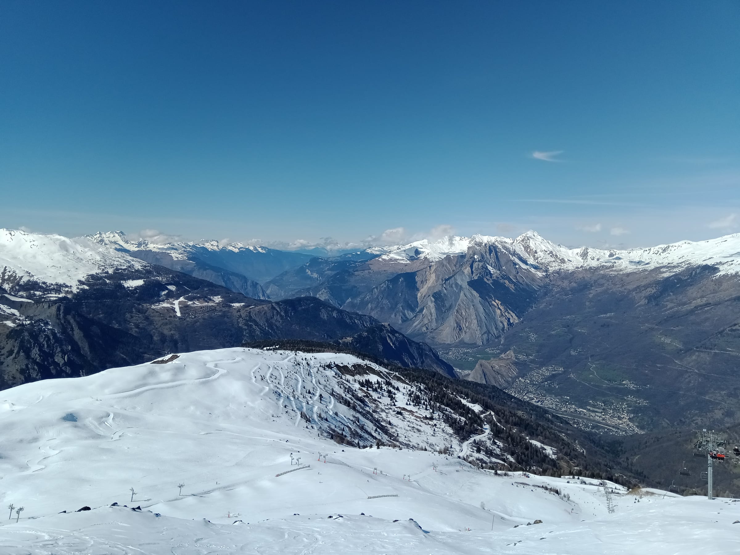
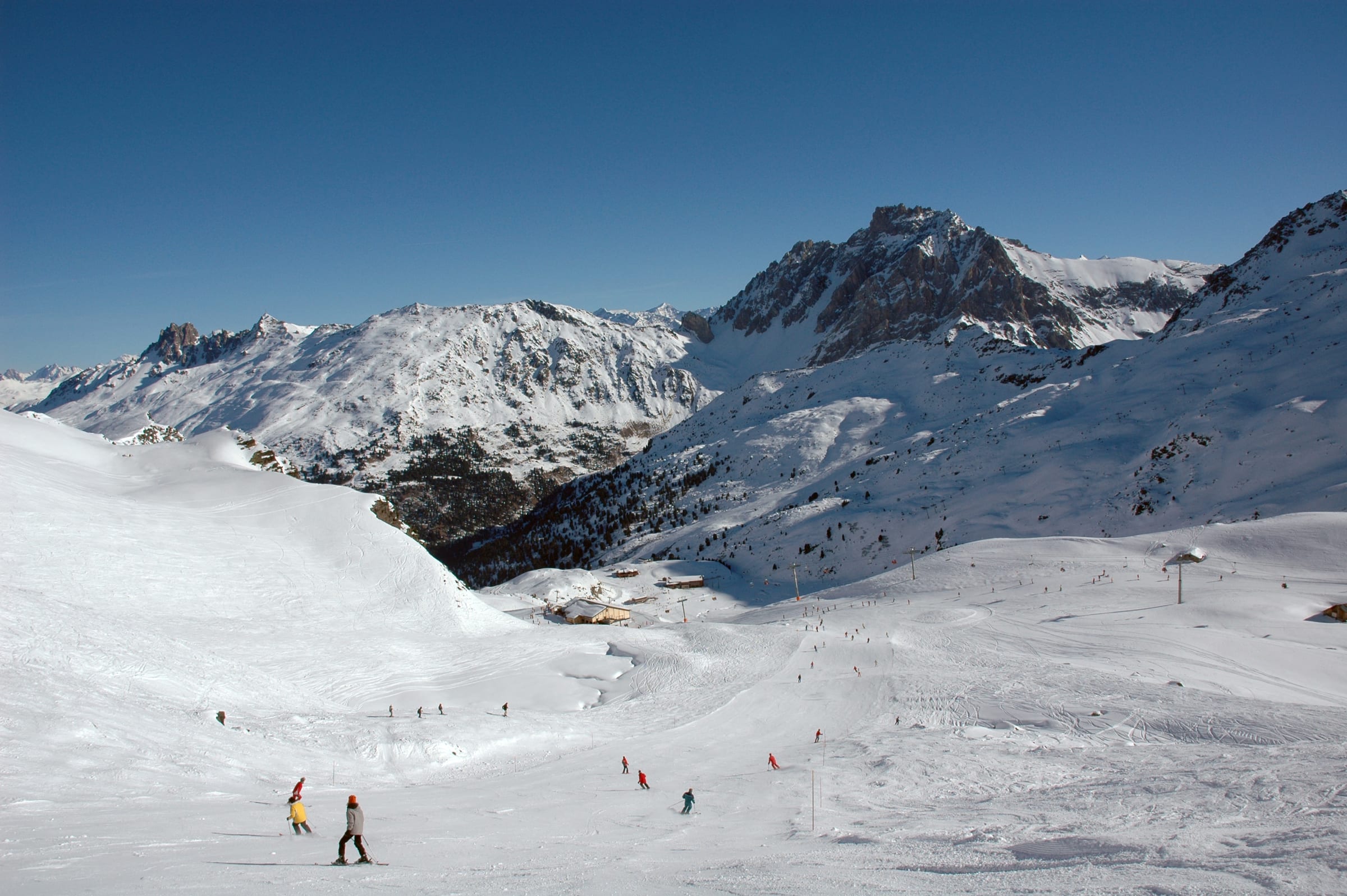
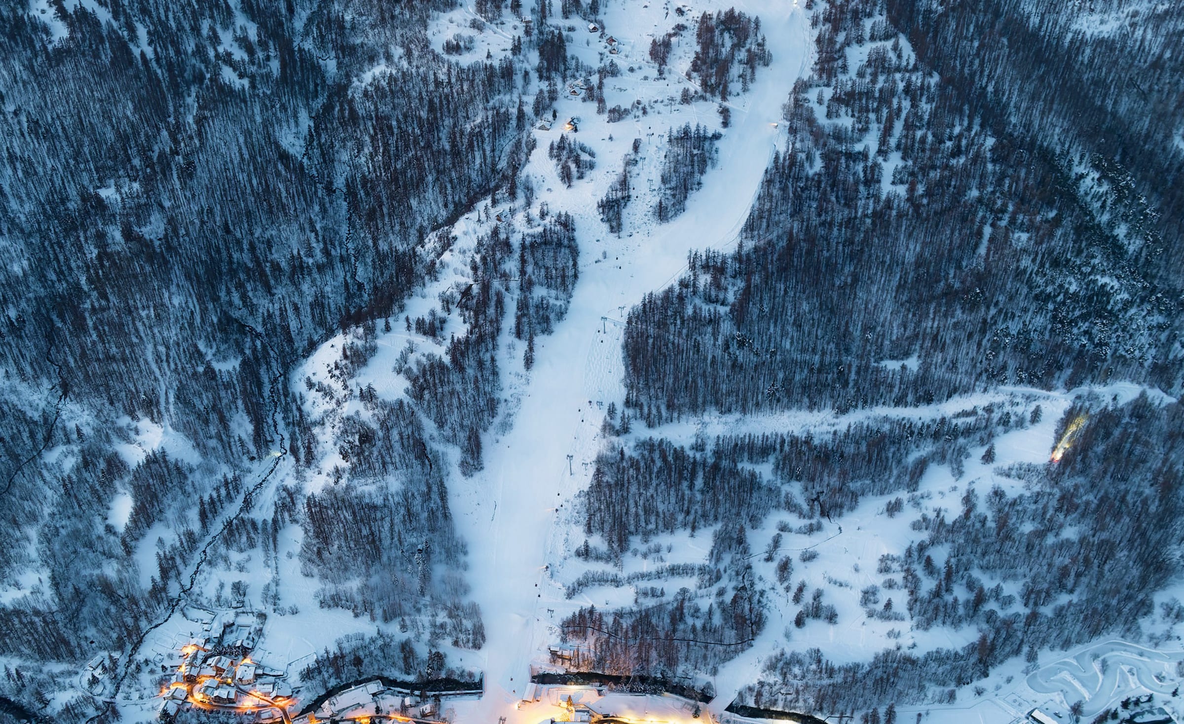
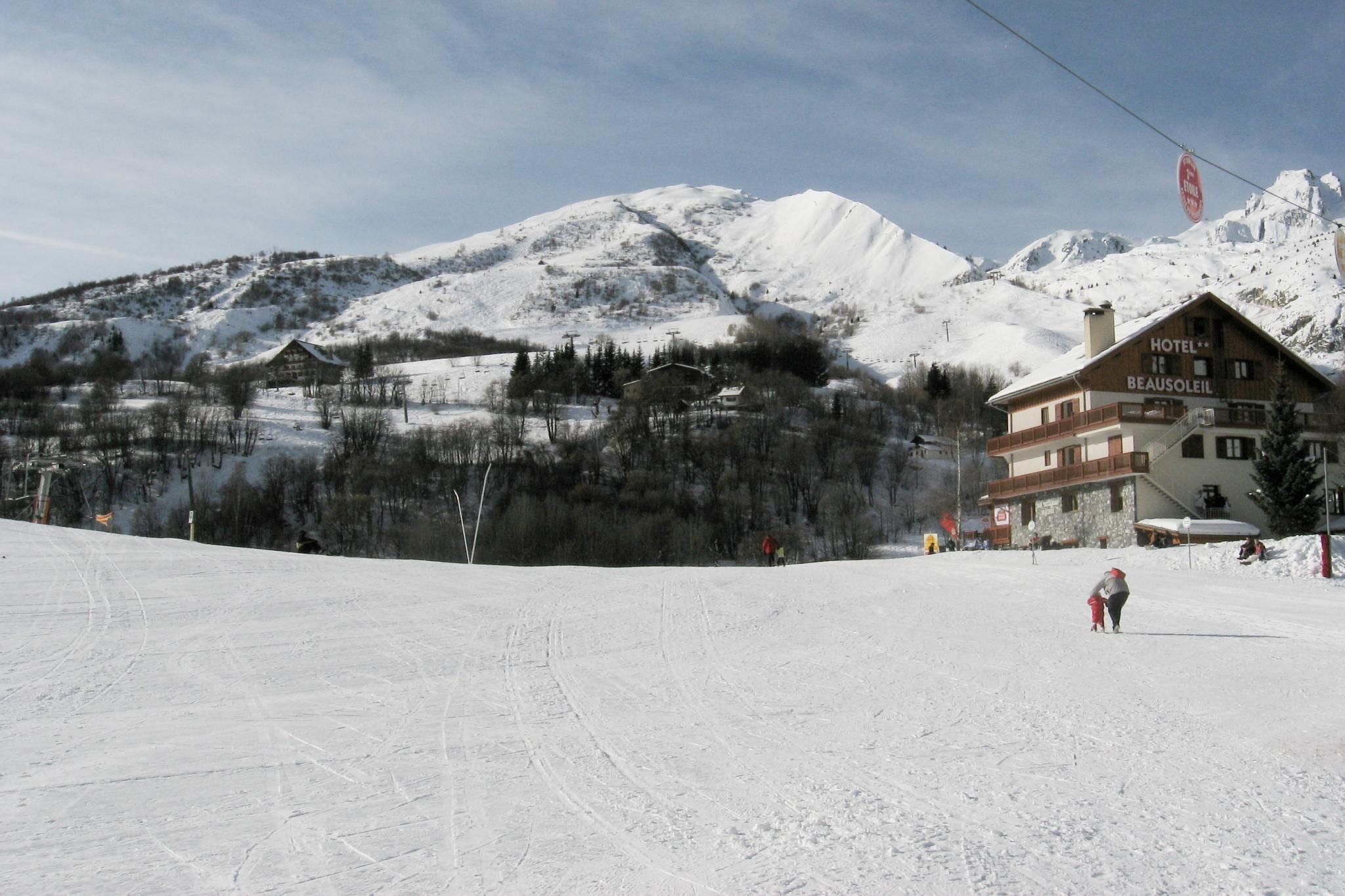
A compact resort in the trees above Modane at around 1,550 m, pitched a touch steeper than its neighbours and rising high onto the frontier ridges. Small and low-key, it rewards keen skiers who want proper terrain without a crowd, and it's among the closest resorts to the rail line.
- 1,550 m Village base
- 2,948 m Top lift
- 1,642 m Vertical
- 162 Pistes mapped
- 79 Lifts
Terrain, lift and aspect figures shown are for the whole Haute Maurienne Vanoise — Valfréjus shares the area's linked lift pass. Its own base altitude is shown above.
The village
Guide coming soon. A full write-up of Valfréjus is on the way. The live weather, snowfall, map and where-to-stay details below are all ready now.
Snow & weather
Live conditions from the mountain, plus the average snow you can expect month by month.
- Feels like
- —
- Conditions
- —
- Wind
- —
- Fresh snow (3-day)
- —
Live data © Open-Meteo.com
Average monthly snowfall
Terrain & aspect
For the whole Haute Maurienne Vanoise.
- Novice
- Easy
- Intermediate
- Advanced
- Freeride
- Flat / ungraded
Slopes mostly face NW — 70% on snow-holding, poleward-facing slopes.
Aspect derived from run bearings · OpenSkiStats / © OpenStreetMap (ODbL).
Skiing & terrain
A level-by-level guide to skiing from Valfréjus is coming soon. The difficulty split and slope aspect (for the whole Haute Maurienne Vanoise) are shown here now.
On the map
Legend
Run difficulty
- Novice
- Easy
- Intermediate
- Advanced / Expert
- Freeride / Extreme
- Unknown
Run types
- Downhill — groomed
- Downhill — ungroomed
- Downhill — gladed
- Nordic (groomed)
- Ski tour
- ☾Lit (night)
- △Not patrolled
- →One-way
- ❄Snowmaking
Lifts
- Operating
- Operating (private)
- Non-operating
- Lift station
Slope-gradient grading
Downhill / ski tour
- Flat<3°
- Easy3–14°
- Intermediate14–22°
- Advanced / Expert22–45°
- Freeride / Extreme>45°
Nordic
- Easy<6°
- Intermediate6–9°
- Advanced>9°
Aspect (sun exposure)
- N — least sun
- E — morning
- S — most sun
- W — afternoon
Legend after OpenSkiMap
Stay in Valfréjus
A compact resort in the trees above Modane at around 1,550 m, pitched a touch steeper than its neighbours and rising high onto the frontier ridges. Small and low-key, it rewards keen skiers who want proper terrain without a crowd, and it's among the closest resorts to the rail line.
Lifts and pistes from the door — the point of a high, purpose-built resort.
Self-catering residences, the bulk of the beds and the flexible-budget option.
Catered and self-catered chalets for groups wanting the whole place.
From simple to high-end, with pools and spas to thaw out in.
Nearby resorts & areas
Other bases within reach — including the rest of the Haute Maurienne Vanoise.
Getting to Valfréjus
Book an airport transfer up to the resort, or pick up a car at Lyon (LYS) — search and compare without leaving the page.
Ski data © OpenStreetMap contributors (ODbL), via OpenSkiMap & Skimap.org. Basemap © OpenFreeMap / OpenMapTiles. · Weather data © Open-Meteo.com (CC-BY 4.0), ERA5 reanalysis. Editorial: mynext.holiday. Accommodation via Stay22; transfers via Kiwitaxi; car hire via Travelpayouts.