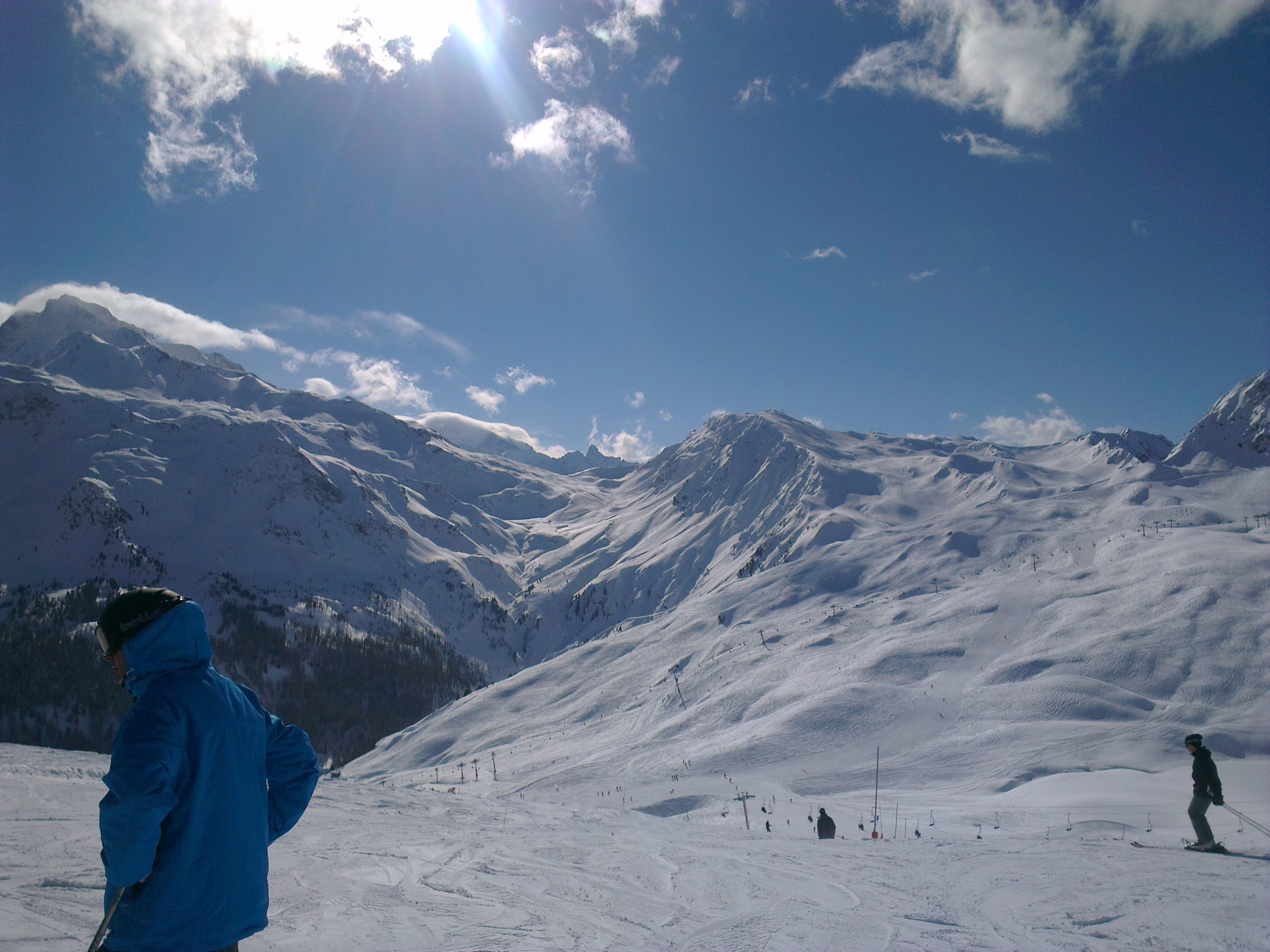
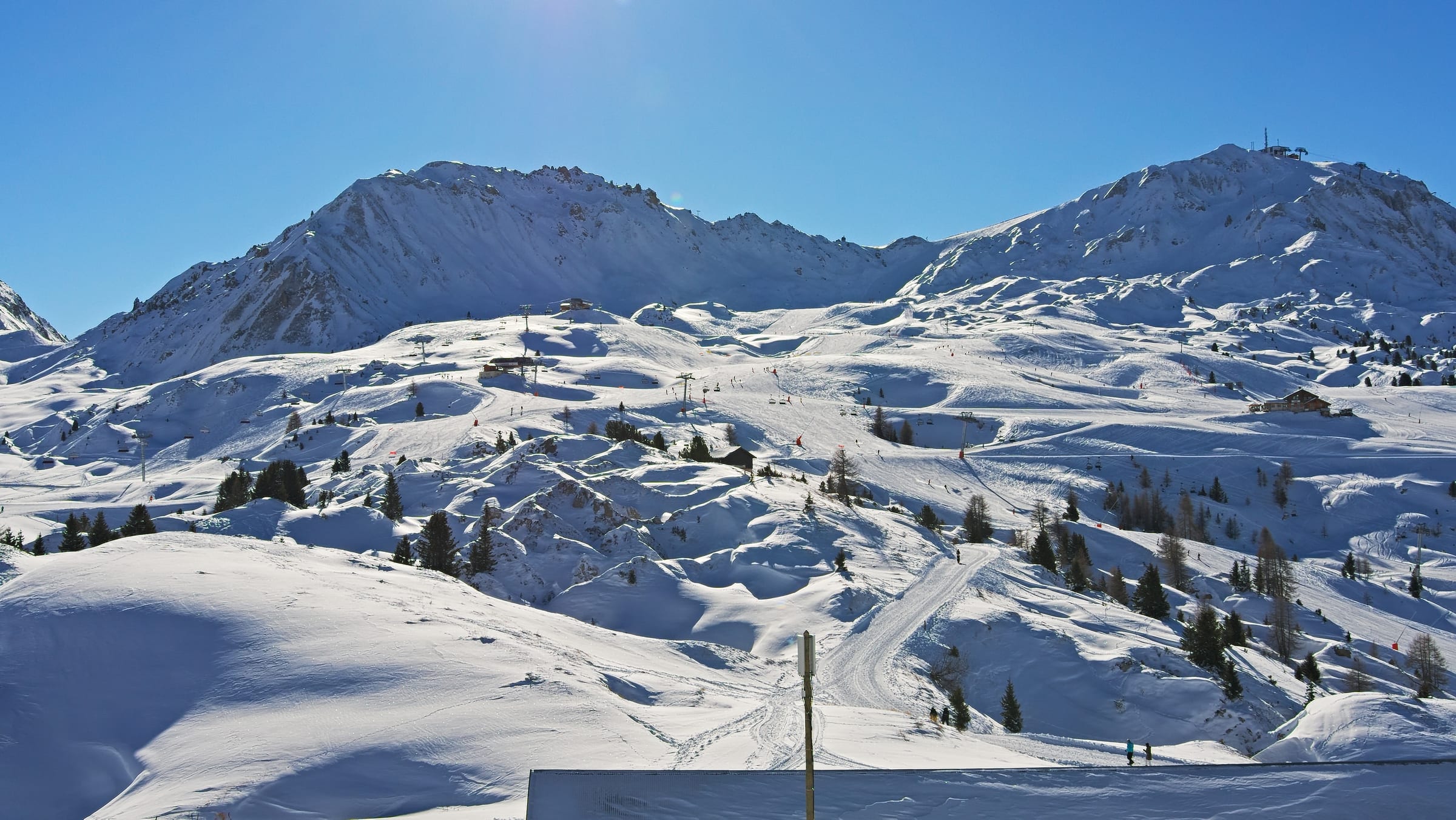
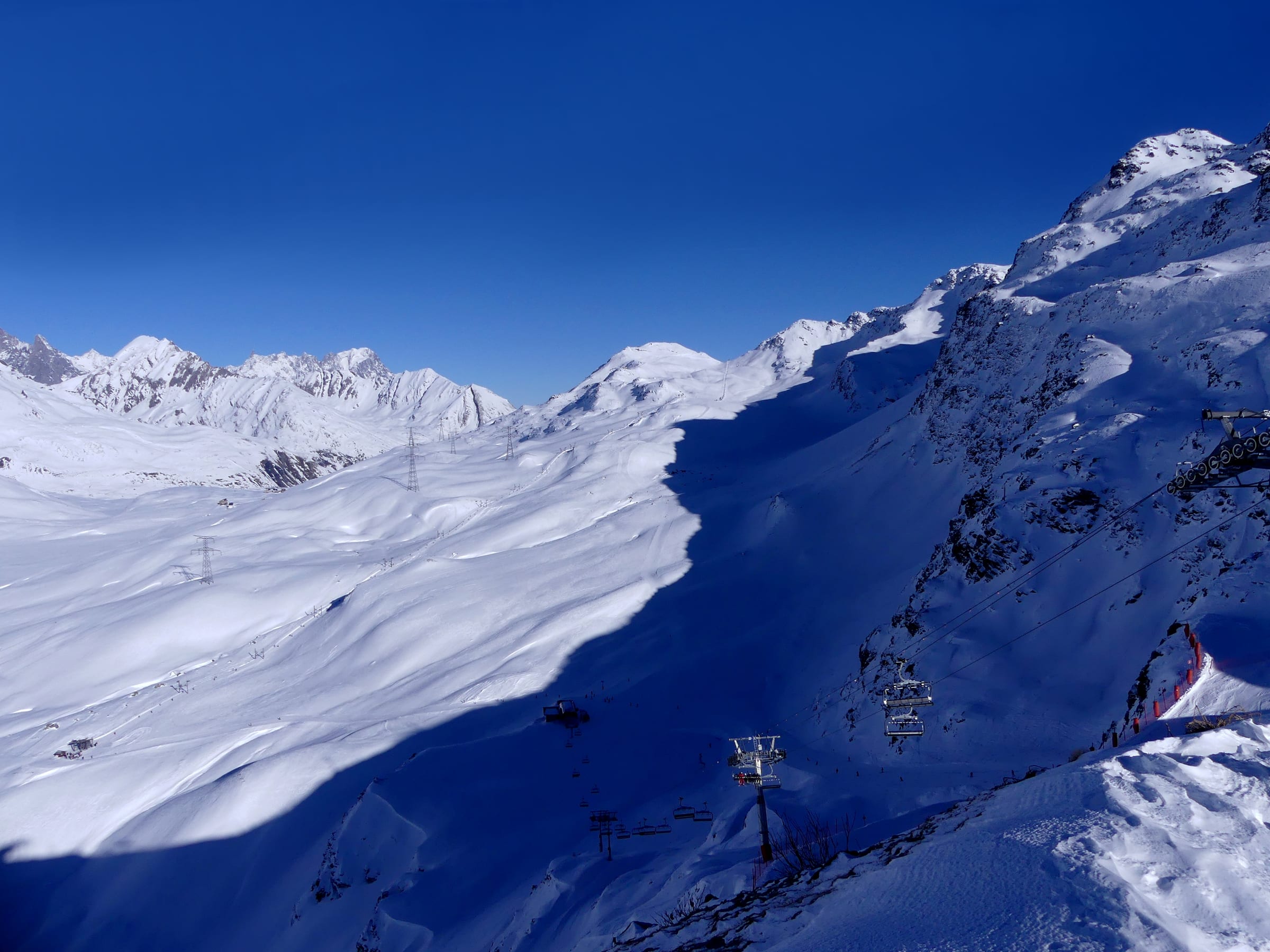
A high, purpose-built resort around 2100 m in a treeless bowl, strung up the mountain toward the Grande Motte glacier — the most snow-sure and ski-from-the-door base on the pass, with a young, up-for-it night scene. Function and altitude over old-village looks.
- 2,100 m Village base
- 3,447 m Top lift
- 1,888 m Vertical
- 169 Pistes mapped
- 84 Lifts
Terrain, lift and aspect figures shown are for the whole Tignes-Val d'Isère — Tignes shares the area's linked lift pass. Its own base altitude is shown above.
The village
Guide coming soon. A full write-up of Tignes is on the way. The live weather, snowfall, map and where-to-stay details below are all ready now.
Snow & weather
Live conditions from the mountain, plus the average snow you can expect month by month.
- Feels like
- —
- Conditions
- —
- Wind
- —
- Fresh snow (3-day)
- —
Live data © Open-Meteo.com
Average monthly snowfall
Terrain & aspect
For the whole Tignes-Val d'Isère.
- Novice
- Easy
- Intermediate
- Advanced
- Freeride
- Flat / ungraded
Slopes mostly face E — 67% on snow-holding, poleward-facing slopes.
Aspect derived from run bearings · OpenSkiStats / © OpenStreetMap (ODbL).
Skiing & terrain
A level-by-level guide to skiing from Tignes is coming soon. The difficulty split and slope aspect (for the whole Tignes-Val d'Isère) are shown here now.
On the map
Legend
Run difficulty
- Novice
- Easy
- Intermediate
- Advanced / Expert
- Freeride / Extreme
- Unknown
Run types
- Downhill — groomed
- Downhill — ungroomed
- Downhill — gladed
- Nordic (groomed)
- Ski tour
- ☾Lit (night)
- △Not patrolled
- →One-way
- ❄Snowmaking
Lifts
- Operating
- Operating (private)
- Non-operating
- Lift station
Slope-gradient grading
Downhill / ski tour
- Flat<3°
- Easy3–14°
- Intermediate14–22°
- Advanced / Expert22–45°
- Freeride / Extreme>45°
Nordic
- Easy<6°
- Intermediate6–9°
- Advanced>9°
Aspect (sun exposure)
- N — least sun
- E — morning
- S — most sun
- W — afternoon
Legend after OpenSkiMap
Stay in Tignes
A high, purpose-built resort around 2100 m in a treeless bowl, strung up the mountain toward the Grande Motte glacier — the most snow-sure and ski-from-the-door base on the pass, with a young, up-for-it night scene. Function and altitude over old-village looks.
Lifts and pistes from the door — the point of a high, purpose-built resort.
Self-catering residences, the bulk of the beds and the flexible-budget option.
Catered and self-catered chalets for groups wanting the whole place.
From simple to high-end, with pools and spas to thaw out in.
Nearby resorts & areas
Other bases within reach — including the rest of the Tignes-Val d'Isère.
Getting to Tignes
Book an airport transfer up to the resort, or pick up a car at Lyon (LYS) — search and compare without leaving the page.
Ski data © OpenStreetMap contributors (ODbL), via OpenSkiMap & Skimap.org. Basemap © OpenFreeMap / OpenMapTiles. · Weather data © Open-Meteo.com (CC-BY 4.0), ERA5 reanalysis. Editorial: mynext.holiday. Accommodation via Stay22; transfers via Kiwitaxi; car hire via Travelpayouts.