A single alpine valley wedged between France and Switzerland, ringed by Mont Blanc, the Matterhorn, Monte Rosa and Gran Paradiso — the four giants of the western Alps. Aosta Valley is bilingual (Italian and French), barely 3,260 km², and improbably dense with castles: more than seventy of them guard the valley floor, strung along a Roman road that still runs through the middle of Aosta itself. In winter it is Courmayeur and Cervinia; in summer it is Gran Paradiso, Italy's oldest national park, and the Skyway cable car onto the Mont Blanc massif.
- Courmayeur and the Skyway Monte Bianco
- Breuil-Cervinia under the Matterhorn
- Gran Paradiso National Park
- Fénis and Bard castles
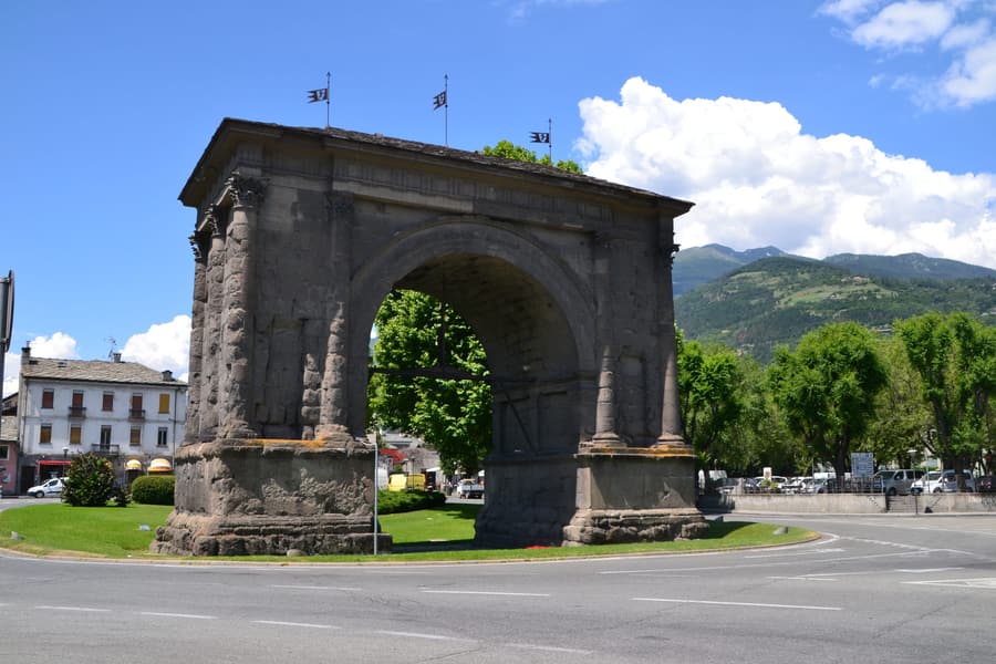
- Roman Aosta
- Best time to go
- December–March for skiing; late June–September for the high passes, Gran Paradiso and the walking season. Many mountain hotels close in May and November.
- Getting there
- Nearest airports Turin (2h) and Geneva (1h30 to Courmayeur via the Mont Blanc tunnel). Rail to Aosta connects at Ivrea/Chivasso; most visitors drive the A5.
© OpenFreeMap · OSM · terrain Mapterhorn · boundaries © EuroGeographics (Eurostat GISCO)
Headline places
What italia.it leads with in Aosta Valley.
-
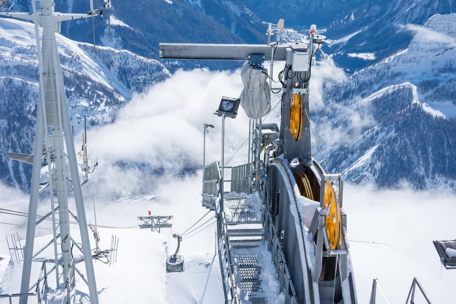 Skyway Monte Bianco A rotating cable car from Courmayeur to 3,466 m on the Mont Blanc massif
 -
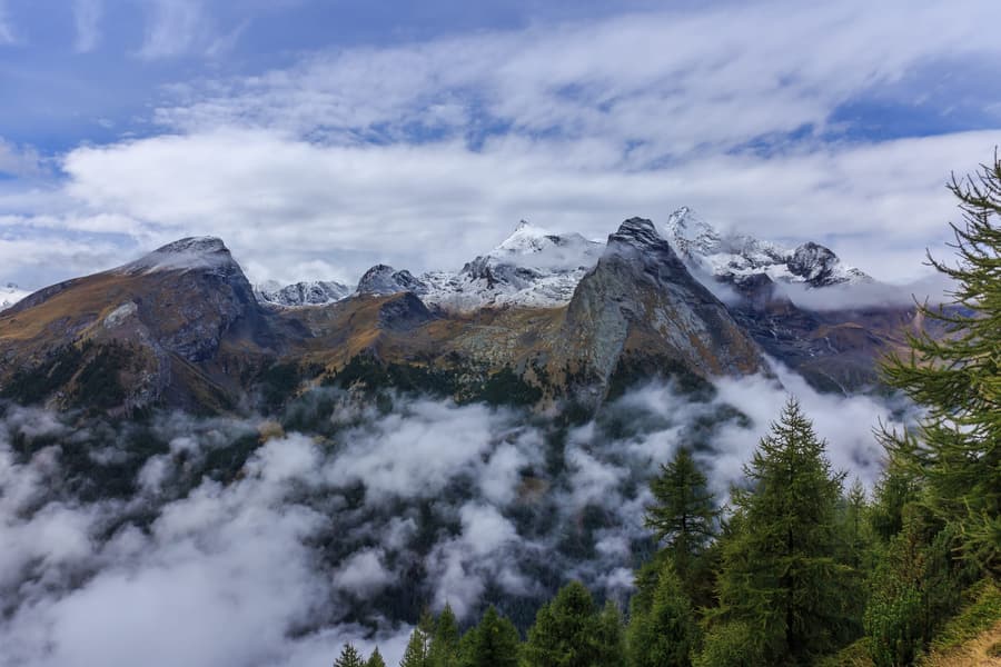 Gran Paradiso National Park Italy's first national park, created in 1922 to save the Alpine ibex
 -
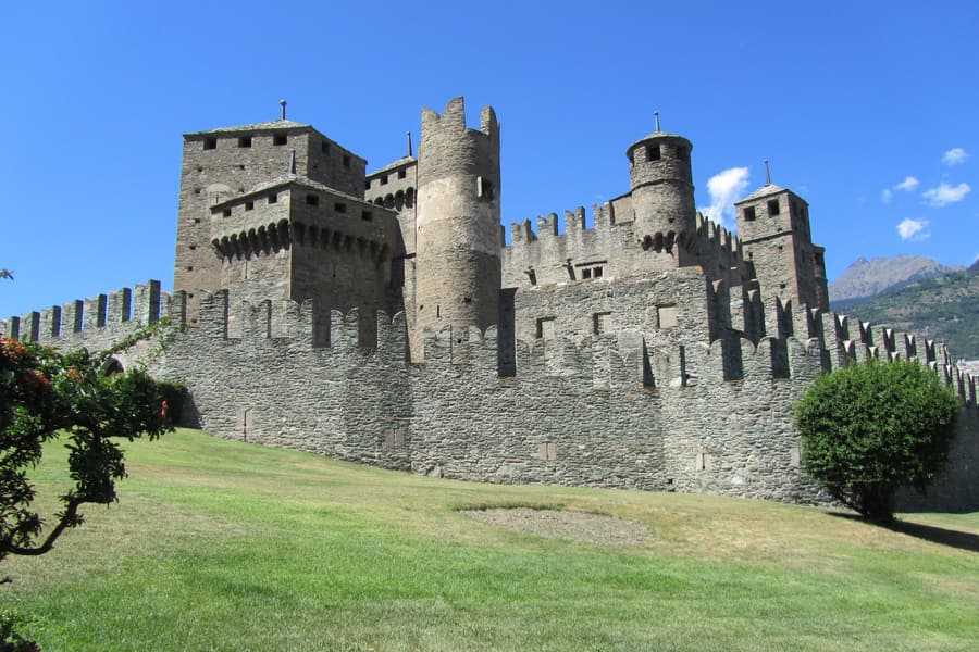 Fénis Castle The most photographed of the Aosta Valley's seventy-odd castles
 -
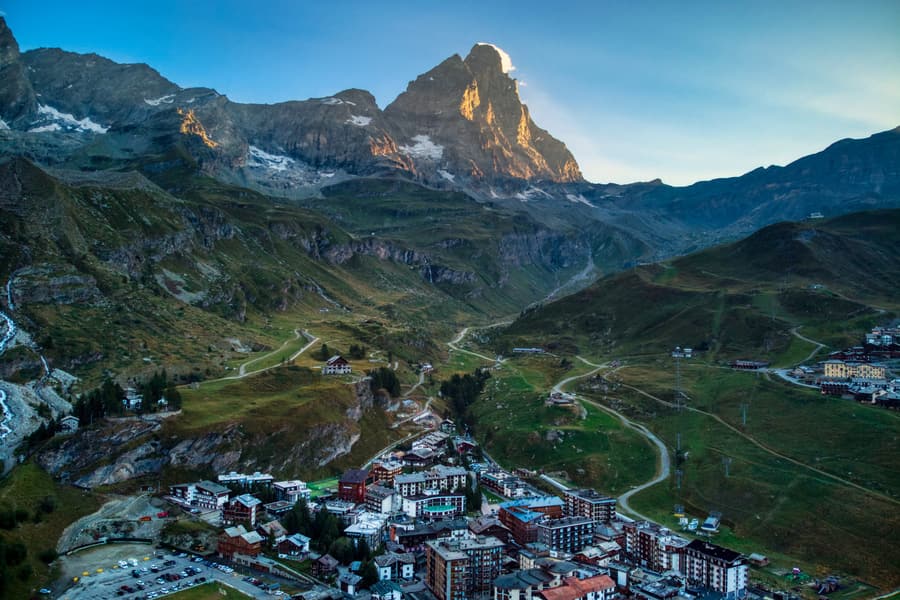 The Matterhorn & Breuil-Cervinia The Italian side of the Cervino, with skiing across the border to Zermatt
 -
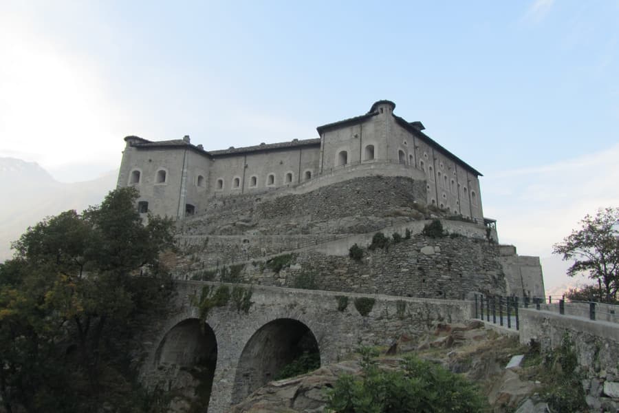 Forte di Bard A nineteenth-century fortress blocking the valley, now the Museum of the Alps
 -
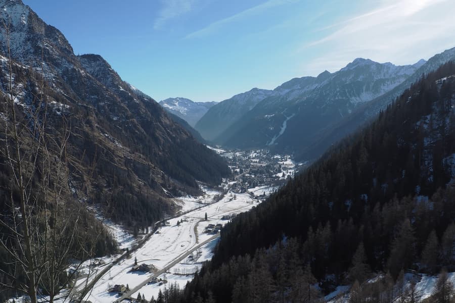 Monte Rosa & Gressoney The Walser valleys under Italy’s second-highest massif, with their own Germanic dialect
Cities & bases
Where to sleep, and what each place is good for.
Aosta Valley by experience
The themes this region delivers on.
-
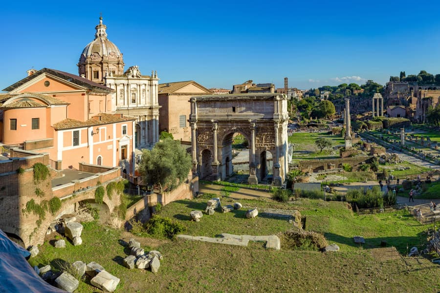 Art & culture More UNESCO World Heritage sites than any other country on earth
 -
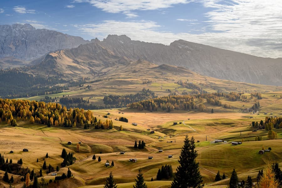 Mountains & the Dolomites The Dolomites, the western Alps and the wild Apennines
 -
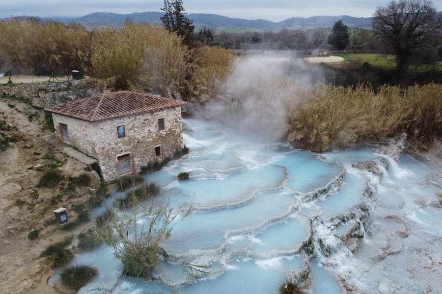 Nature & national parks 25 national parks, from alpine glaciers to volcanic islands
 -
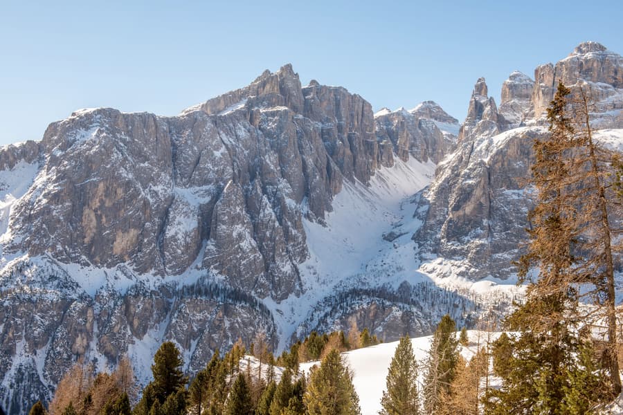 Sport & the outdoors Dolomiti Superski, the Giro's climbs and Garda's windsurfing
 -
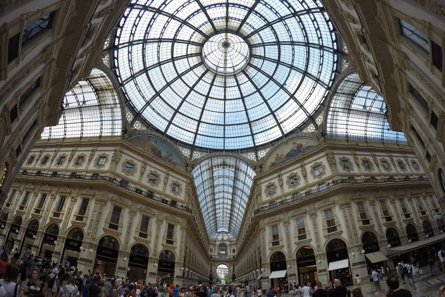 Luxury Italy Portofino, the Costa Smeralda, Capri and the great lake villas
More of The North
-
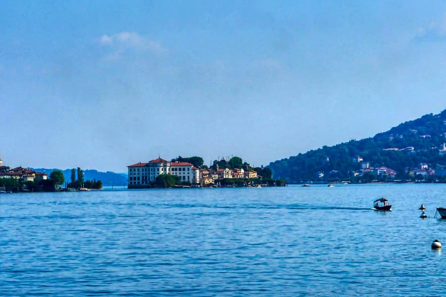 Piedmont Barolo, white truffles, royal Turin and the Alps at the foot of the plain
 -
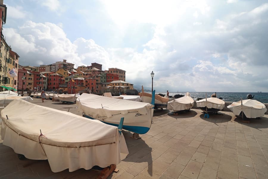 Liguria The Italian Riviera — Cinque Terre, Portofino and pesto's home port
 -
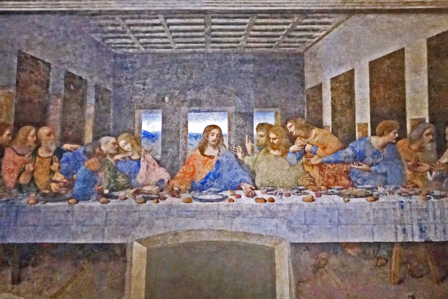 Lombardy Milan, the great lakes and the Alps of Valtellina
 -
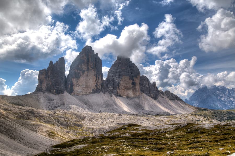 South Tyrol German-speaking Italy under the Dolomites
 -
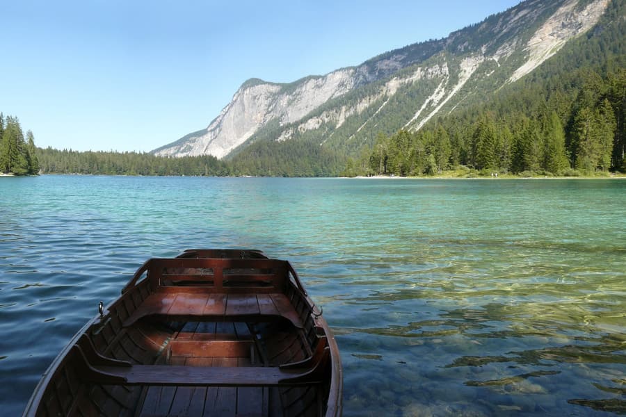 Trentino Dolomite valleys, Lake Garda's northern tip and Italy's alpine lakes
 -
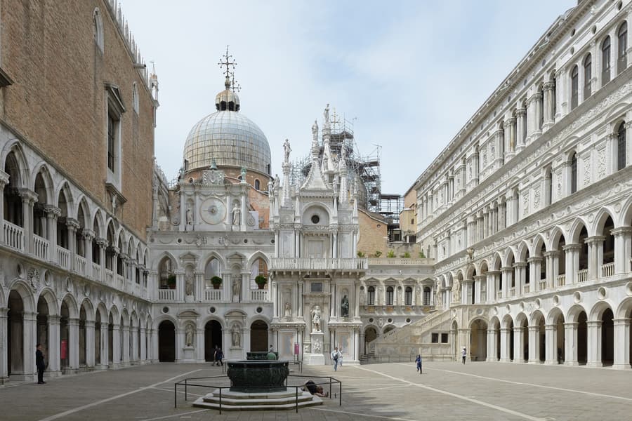 Veneto Venice, Verona, Palladio's villas and the Dolomites of Cortina
 -
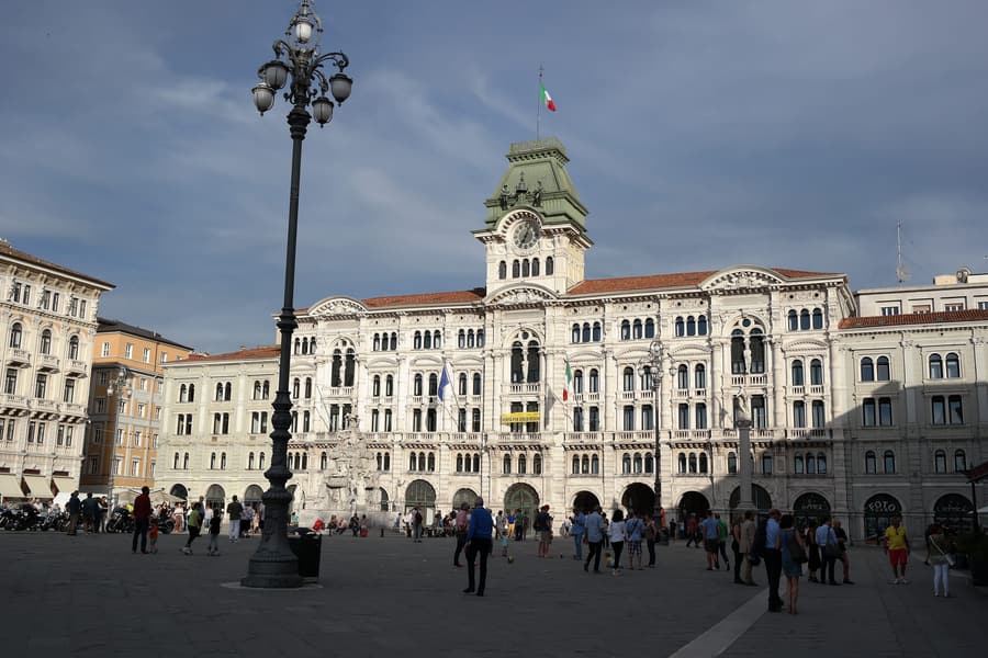 Friuli Venezia Giulia Habsburg Trieste, Roman Aquileia and Italy's finest white wines
 -
 Emilia-Romagna Parmigiano, prosciutto, Ferrari and Ravenna's mosaics